Smythes Creek Suburbs & Region, Smythes Creek Map & Postcodes
Smythes Creek Suburbs & Region, Smythes Creek Map & Postcodes in Smythes Creek, Warrnambool Otway Ranges, Warrnambool and South West, VIC, AU
Smythes Creek Region
Region Name
Smythes Creek (VIC, AU)Smythes Creek Area
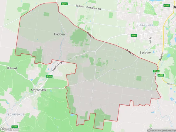
104.73 square kilometers (104.73 ㎢)Postal Codes
3351, and 3352 (In total, there are 2 postcodes in Smythes Creek.)Smythes Creek Introduction
Smythes Creek is a locality in the local government area of the City of Warrnambool, Victoria, Australia. It is located 21 km south-west of Warrnambool's central business district. The post office opened as Smythes Creek on 1 November 1892 and was closed on 1 March 1974. The present post office opened as Mount Gambier on 1 July 1975 and was closed on 1 March 1984. The traditional owners of the land are the Wathaurong. The name Smythes Creek is derived from the creek of the same name, which flows through the locality. The creek was named after Thomas Smythe, who was a squatter on the land in the 1840s. Smythes Creek has a primary school and a post office. The school was opened in 1897 and closed in 1978. The post office was opened in 1892 and closed in 1974. The present post office opened in 1975 and closed in 1984. The locality is surrounded by farmland and has a population of around 200 people. The nearest town is Mount Gambier, which is 13 km away. The nearest railway station is Warrnambool, which is 2Australia State
City or Big Region
Greater Capital City
Rest of Vic. (2RVIC)District or Regional Area
Suburb Name
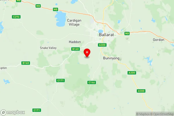
Smythes Creek Region Map

Smythes Creek Postcodes / Zip Codes
Smythes Creek Suburbs
Smythes Creek full address
Smythes Creek, Warrnambool Otway Ranges, Warrnambool and South West, Victoria, VIC, Australia, SaCode: 201011007Country
Smythes Creek, Warrnambool Otway Ranges, Warrnambool and South West, Victoria, VIC, Australia, SaCode: 201011007
Smythes Creek Suburbs & Region, Smythes Creek Map & Postcodes has 0 areas or regions above, and there are 4 Smythes Creek suburbs below. The sa2code for the Smythes Creek region is 201011007. Its latitude and longitude coordinates are -37.6498,143.769. Smythes Creek area belongs to Australia's greater capital city Rest of Vic..
Smythes Creek Suburbs & Localities
1. Haddon
2. Nintingbool
3. Ross Creek
4. Cambrian Hill
