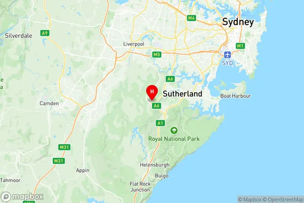
Menai Lucas Heights Woronora Suburbs & Region, Menai Lucas Heights Woronora Map & Postcodes
Menai Lucas Heights Woronora Suburbs & Region, Menai Lucas Heights Woronora Map & Postcodes in Menai Lucas Heights Woronora, Sutherland Menai Heathcote, Sydney Sutherland, NSW, AU
Menai Lucas Heights Woronora Region
Region Name
Menai Lucas Heights Woronora (NSW, AU)Menai Lucas Heights Woronora Area
33.4 square kilometers (33.4 ㎢)Postal Codes
2232, and 2234 (In total, there are 2 postcodes in Menai Lucas Heights Woronora.)Menai Lucas Heights Woronora Introduction
Menai Lucas Heights Woronora is a suburb in southern Sydney, in the state of New South Wales, Australia. It is located 27 kilometers south of the Sydney central business district and is part of the Sutherland Shire. The suburb is named after the Menai River, which flows through it. Menai Lucas Heights Woronora is a primarily residential area with a mix of single-family homes, townhouses, and apartments. The suburb has a large population of Greek and Italian immigrants, and there is a strong sense of community pride. The area has a number of parks and recreational facilities, including a cricket club, a tennis club, and a swimming pool. The suburb is well-connected to public transport, with several bus routes and a train station located within walking distance. The Sydney Harbour Bridge is also easily accessible, providing a direct route to the city center. In terms of education, Menai Lucas Heights Woronora has a number of primary schools and high schools, including Menai Lucas Heights Public School and Woronora High School. The area also has a community college and a TAFE campus. Overall, Menai Lucas Heights Woronora is a vibrant and diverse suburb with a lot to offer its residents. Its convenient location, well-developed infrastructure, and strong community spirit make it a popular place to live and work.Australia State
City or Big Region
Greater Capital City
Greater Sydney (1GSYD)District or Regional Area
Suburb Name
Menai Lucas Heights Woronora Region Map

Menai Lucas Heights Woronora Postcodes / Zip Codes
Menai Lucas Heights Woronora Suburbs
Menai Lucas Heights Woronora full address
Menai Lucas Heights Woronora, Sutherland Menai Heathcote, Sydney Sutherland, New South Wales, NSW, Australia, SaCode: 128021535Country
Menai Lucas Heights Woronora, Sutherland Menai Heathcote, Sydney Sutherland, New South Wales, NSW, Australia, SaCode: 128021535
Menai Lucas Heights Woronora Suburbs & Region, Menai Lucas Heights Woronora Map & Postcodes has 0 areas or regions above, and there are 6 Menai Lucas Heights Woronora suburbs below. The sa2code for the Menai Lucas Heights Woronora region is 128021535. Its latitude and longitude coordinates are -34.049,150.975. Menai Lucas Heights Woronora area belongs to Australia's greater capital city Greater Sydney.
Menai Lucas Heights Woronora Suburbs & Localities
2. Menai Central
3. Lucas Heights
4. Woronora
5. Barden Ridge
