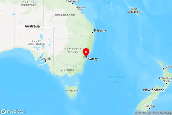
Barden Ridge Area, Barden Ridge Postcode(2234) & Map in Barden Ridge, Sydney - Sutherland, NSW
Barden Ridge Area, Barden Ridge Postcode(2234) & Map in Barden Ridge, Sydney - Sutherland, NSW, AU, Postcode: 2234
Barden Ridge, Menai - Lucas Heights - Woronora, Sutherland - Menai - Heathcote, Sydney - Sutherland, New South Wales, Australia, 2234
Barden Ridge Postcode
Area Name
Barden RidgeBarden Ridge Suburb Area Map (Polygon)

Barden Ridge Introduction
Barden Ridge is a suburb in the Sutherland Shire of Sydney, in New South Wales, Australia. It is located 36 kilometers south of the Sydney central business district and is part of the Georges River Council. Barden Ridge is known for its scenic bushland and rural atmosphere, with many homes set on large lots. The suburb has a small shopping center with a supermarket, cafes, and a few specialty stores. There are also several parks and recreational facilities, including a cricket club and a tennis court. Barden Ridge is a popular destination for families and outdoor enthusiasts, with many walking and cycling trails in the surrounding area.State Name
City or Big Region
District or Regional Area
Suburb Name
Barden Ridge Region Map

Country
Main Region in AU
R1Coordinates
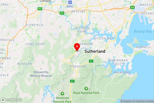
-34.032,151.01 (latitude/longitude)Barden Ridge Area Map (Street)

Longitude
151.004412Latitude
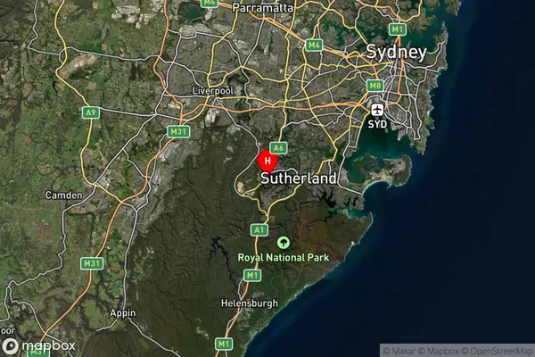
-34.021938Barden Ridge Suburb Map (Satellite)

Distances
The distance from Barden Ridge, Sydney - Sutherland, NSW to AU Greater Capital CitiesSA1 Code 2011
12802153525SA1 Code 2016
12802153525SA2 Code
128021535SA3 Code
12802SA4 Code
128RA 2011
1RA 2016
1MMM 2015
1MMM 2019
1Charge Zone
N1LGA Region
Sutherland ShireLGA Code
17150Electorate
Hughes