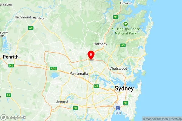
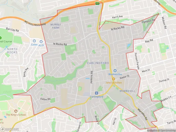
Carlingford Suburbs & Region, Carlingford Map & Postcodes
Carlingford Suburbs & Region, Carlingford Map & Postcodes in Carlingford, Ryde Hunters Hill, Sydney Ryde, NSW, AU
Carlingford Region
Region Name
Carlingford (NSW, AU)Postal Codes
2118 (In total, there are 1 postcodes in Carlingford.)Carlingford Introduction
Carlingford is a suburb in the local government area of the City of Ryde, located in Sydney, New South Wales, Australia. It is 16 kilometers northwest of Sydney's central business district and is part of the Greater Sydney region. Carlingford is known for its historic charm, with many heritage-listed buildings and a village atmosphere. It is surrounded by lush green parks and reserves, including the Carlingford Court House and Gardens and the Carlingford Nature Reserve. The suburb has a vibrant arts and culture scene, with a number of galleries, theatres, and restaurants. It is also home to a large community of artists and musicians. Carlingford is well-connected to the rest of Sydney, with easy access to public transport and major roads. It is a popular destination for weekend getaways and day trips, with many visitors enjoying the shopping, dining, and cultural attractions of the area.Australia State
City or Big Region
District or Regional Area
Suburb Name
Carlingford Region Map

Carlingford Postcodes / Zip Codes
Carlingford Suburbs
Carlingford full address
Carlingford, Ryde Hunters Hill, Sydney Ryde, New South Wales, NSW, Australia, SaCode: 125021476Country
Carlingford, Ryde Hunters Hill, Sydney Ryde, New South Wales, NSW, Australia, SaCode: 125021476
Carlingford Suburbs & Region, Carlingford Map & Postcodes has 0 areas or regions above, and there are 4 Carlingford suburbs below. The sa2code for the Carlingford region is 125021476. Its latitude and longitude coordinates are -33.7648,151.058.
Carlingford Suburbs & Localities
1. Carlingford
2. Carlingford Court
3. Carlingford North
4. Kingsdene
