Carlingford Court Area, Carlingford Court Postcode(2118) & Map in Carlingford Court, Sydney - Parramatta, NSW
Carlingford Court Area, Carlingford Court Postcode(2118) & Map in Carlingford Court, Sydney - Parramatta, NSW, AU, Postcode: 2118
Carlingford Court, Carlingford, Carlingford, Sydney - Parramatta, New South Wales, Australia, 2118
Carlingford Court Postcode
Area Name
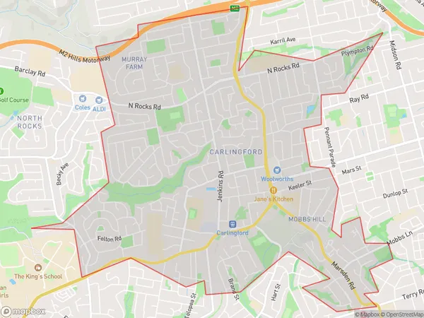
Carlingford CourtCarlingford Court Suburb Area Map (Polygon)

Carlingford Court Introduction
Carlingford Court is a heritage-listed former residence and now community centre located at 14-16 Carlingford Road, in the inner-western Sydney suburb of Parramatta. It was designed by John Horbury Hunt and built from 1889 to 1890. It is part of the Carlingford Court Group, which includes St John's Church and St John's Hall. The building is significant as it is a good example of Victorian Gothic architecture and is associated with the social and cultural life of the Carlingford area.State Name
City or Big Region
District or Regional Area
Suburb Name
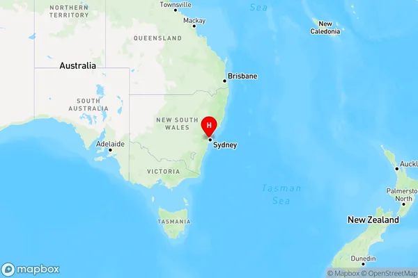
Carlingford Court Region Map

Country
Main Region in AU
R1Coordinates
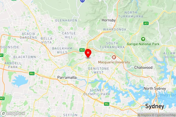
-33.7769709,151.0521224 (latitude/longitude)Carlingford Court Area Map (Street)

Longitude
151.043518Latitude
-33.775596Carlingford Court Elevation
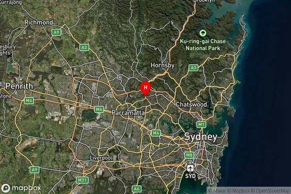
about 93.22 meters height above sea level (Altitude)Carlingford Court Suburb Map (Satellite)

Distances
The distance from Carlingford Court, Sydney - Parramatta, NSW to AU Greater Capital CitiesSA1 Code 2011
12502147629SA1 Code 2016
12502147629SA2 Code
125021476SA3 Code
12502SA4 Code
125RA 2011
1RA 2016
1MMM 2015
1MMM 2019
1Charge Zone
N1LGA Region
ParramattaLGA Code
16260Electorate
Parramatta