Macquarie Fields Glenfield Suburbs & Region, Macquarie Fields Glenfield Map & Postcodes
Macquarie Fields Glenfield Suburbs & Region, Macquarie Fields Glenfield Map & Postcodes in Macquarie Fields Glenfield, Campbelltown (NSW), Sydney Outer South West, NSW, AU
Macquarie Fields Glenfield Region
Region Name
Macquarie Fields Glenfield (NSW, AU)Postal Codes
2167, and 2564 (In total, there are 2 postcodes in Macquarie Fields Glenfield.)Macquarie Fields Glenfield Introduction
Macquarie Fields Glenfield is a suburb located in the southern suburbs of Sydney, in the state of New South Wales, Australia. It is situated 21 kilometers south-west of the Sydney central business district and is part of the Macarthur region. The suburb is named after the Macquarie River, which flows through it. Macquarie Fields Glenfield is a diverse suburb with a mix of residential, commercial, and industrial areas. The residential areas include a variety of housing styles, from single-family homes to apartment complexes. The suburb has a large population, with an estimated population of over 30,000 people as of 2016. The suburb is well-serviced by public transport, with several bus routes and a train station located within walking distance. It also has a number of shopping centers, including the Macquarie Fields Shopping Centre, which is a major retail hub for the area. Macquarie Fields Glenfield is known for its recreational facilities, including several parks, playgrounds, and sporting fields. The suburb also has a medical center, a library, and a community center. In terms of education, Macquarie Fields Glenfield is home to a number of primary and secondary schools, including Glenfield Public School, St John Paul II Catholic College, and Macquarie Fields High School. The suburb is also home to a TAFE campus, the Macquarie Institute.Australia State
City or Big Region
District or Regional Area
Suburb Name
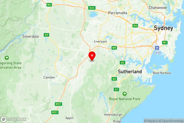
Macquarie Fields Glenfield Region Map

Macquarie Fields Glenfield Postcodes / Zip Codes
Macquarie Fields Glenfield Suburbs
Macquarie Fields Glenfield full address
Macquarie Fields Glenfield, Campbelltown (NSW), Sydney Outer South West, New South Wales, NSW, Australia, SaCode: 123021442Country
Macquarie Fields Glenfield, Campbelltown (NSW), Sydney Outer South West, New South Wales, NSW, Australia, SaCode: 123021442
Macquarie Fields Glenfield Suburbs & Region, Macquarie Fields Glenfield Map & Postcodes has 0 areas or regions above, and there are 4 Macquarie Fields Glenfield suburbs below. The sa2code for the Macquarie Fields Glenfield region is 123021442. Its latitude and longitude coordinates are -33.9943,150.888.
Macquarie Fields Glenfield Suburbs & Localities
1. Glenfield
2. Glenquarie
3. Macquarie Fields
4. Long Point
