Long Point Area, Long Point Postcode(2564) & Map in Long Point, Sydney - Outer South West, NSW
Long Point Area, Long Point Postcode(2564) & Map in Long Point, Sydney - Outer South West, NSW, AU, Postcode: 2564
Long Point, Macquarie Fields - Glenfield, Campbelltown (NSW), Sydney - Outer South West, New South Wales, Australia, 2564
Long Point Postcode
Area Name
Long PointLong Point Suburb Area Map (Polygon)

Long Point Introduction
Long Point is a suburb in the Southern Highlands of New South Wales, Australia. It is located in the City of Campbelltown and is part of the Macarthur region. The suburb is named after a long point of land that juts out into the Georges River. Long Point is a popular spot for fishing, with a boat ramp and a fishing pier. It is also home to a number of parks and reserves, including Long Point Reserve and Mount Werong Nature Reserve.State Name
City or Big Region
District or Regional Area
Suburb Name
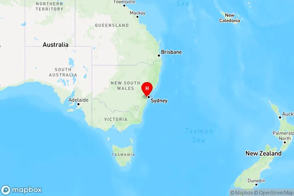
Long Point Region Map

Country
Main Region in AU
R1Coordinates
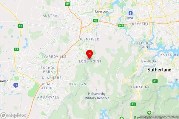
-34.012,150.897 (latitude/longitude)Long Point Area Map (Street)

Longitude
150.894916Latitude
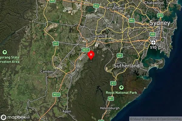
-33.998362Long Point Suburb Map (Satellite)

Distances
The distance from Long Point, Sydney - Outer South West, NSW to AU Greater Capital CitiesSA1 Code 2011
12302144251SA1 Code 2016
12302144251SA2 Code
123021442SA3 Code
12302SA4 Code
123RA 2011
1RA 2016
1MMM 2015
1MMM 2019
1Charge Zone
N1LGA Region
LiverpoolLGA Code
14900Electorate
Werriwa