Chullora Suburbs & Region, Chullora Map & Postcodes
Chullora Suburbs & Region, Chullora Map & Postcodes in Chullora, Strathfield Burwood Ashfield, Sydney Inner West, NSW, AU
Chullora Region
Region Name
Chullora (NSW, AU)Chullora Area
4.05 square kilometers (4.05 ㎢)Postal Codes
2143, and 2190 (In total, there are 2 postcodes in Chullora.)Chullora Introduction
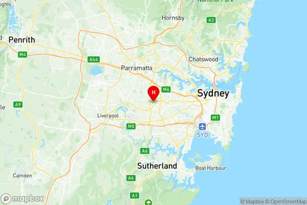
Chullora is a suburb in the Inner West of Sydney, New South Wales, Australia. It is located 12 kilometres south-west of the Sydney central business district and is part of the City of Canada Bay. Chullora is known for its large industrial area and has a population of around 10,000 people. The suburb is home to a number of major companies, including BHP Billiton, Bluescope Steel, and CSR Limited. Chullora also has a number of parks and recreational facilities, including a sports complex, a swimming pool, and a golf course. The area was originally inhabited by the Darug people, who had a strong presence in the area until the arrival of European settlers in the 18th century.Australia State
City or Big Region
Greater Capital City
Greater Sydney (1GSYD)District or Regional Area
Suburb Name
Chullora Region Map

Chullora Postcodes / Zip Codes
Chullora Suburbs
Chullora full address
Chullora, Strathfield Burwood Ashfield, Sydney Inner West, New South Wales, NSW, Australia, SaCode: 119011355Country
Chullora, Strathfield Burwood Ashfield, Sydney Inner West, New South Wales, NSW, Australia, SaCode: 119011355
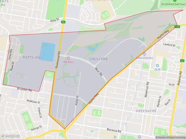
Chullora Suburbs & Region, Chullora Map & Postcodes has 0 areas or regions above, and there are 2 Chullora suburbs below. The sa2code for the Chullora region is 119011355. Its latitude and longitude coordinates are -33.8908,151.048. Chullora area belongs to Australia's greater capital city Greater Sydney.
Chullora Suburbs & Localities
1. Potts Hill
2. Chullora
