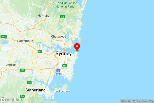
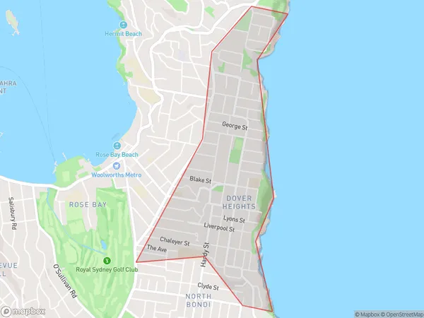
Dover Heights Suburbs & Region, Dover Heights Map & Postcodes
Dover Heights Suburbs & Region, Dover Heights Map & Postcodes in Dover Heights, Eastern Suburbs North, Sydney Eastern Suburbs, NSW, AU
Dover Heights Region
Region Name
Dover Heights (NSW, AU)Dover Heights Area
1.87 square kilometers (1.87 ㎢)Postal Codes
2030 (In total, there are 1 postcodes in Dover Heights.)Dover Heights Introduction
Dover Heights is a suburb in the Eastern Suburbs of Sydney, in New South Wales, Australia. It is located 12 kilometers southeast of the Sydney central business district and is part of the City of Canada Bay. Dover Heights is known for its high-rise apartments and luxurious homes, with stunning views of the city skyline and the ocean. The suburb has a rich cultural heritage, with many historic buildings and landmarks, including the Dover Heights Public School and the Dover Heights Community Centre. It is also home to a large number of parks and recreational facilities, including the Dover Heights Park and the Harold E. Holt Reserve.Australia State
City or Big Region
Greater Capital City
Greater Sydney (1GSYD)District or Regional Area
Suburb Name
Dover Heights Region Map

Dover Heights Postcodes / Zip Codes
Dover Heights Suburbs
Dover Heights full address
Dover Heights, Eastern Suburbs North, Sydney Eastern Suburbs, New South Wales, NSW, Australia, SaCode: 118011344Country
Dover Heights, Eastern Suburbs North, Sydney Eastern Suburbs, New South Wales, NSW, Australia, SaCode: 118011344
Dover Heights Suburbs & Region, Dover Heights Map & Postcodes has 0 areas or regions above, and there are 2 Dover Heights suburbs below. The sa2code for the Dover Heights region is 118011344. Its latitude and longitude coordinates are -33.8611,151.28. Dover Heights area belongs to Australia's greater capital city Greater Sydney.
Dover Heights Suburbs & Localities
1. Dover Heights
2. Diamond Bay
