Dover Heights Area, Dover Heights Postcode(2030) & Map in Dover Heights, Sydney - Eastern Suburbs, NSW
Dover Heights Area, Dover Heights Postcode(2030) & Map in Dover Heights, Sydney - Eastern Suburbs, NSW, AU, Postcode: 2030
Dover Heights, Dover Heights, Eastern Suburbs - North, Sydney - Eastern Suburbs, New South Wales, Australia, 2030
Dover Heights Postcode
Area Name
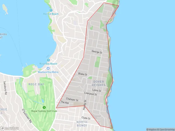
Dover HeightsDover Heights Suburb Area Map (Polygon)

Dover Heights Introduction
Dover Heights is a suburb in Sydney's Eastern Suburbs, located 9 kilometers southeast of the CBD. It is known for its peaceful atmosphere, tree-lined streets, and well-maintained homes. The suburb has a variety of shops, cafes, and restaurants, as well as a community center and a park. Dover Heights is also home to a large number of medical facilities, including a hospital and a medical research institute.State Name
City or Big Region
District or Regional Area
Suburb Name
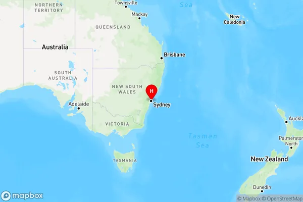
Dover Heights Region Map

Country
Main Region in AU
R1Coordinates
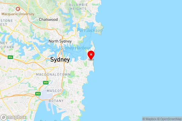
-33.87185,151.27837 (latitude/longitude)Dover Heights Area Map (Street)

Longitude
151.275977Latitude
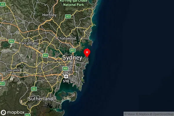
-33.858378Dover Heights Suburb Map (Satellite)

Distances
The distance from Dover Heights, Sydney - Eastern Suburbs, NSW to AU Greater Capital CitiesSA1 Code 2011
11801134418SA1 Code 2016
11801134418SA2 Code
118011344SA3 Code
11801SA4 Code
118RA 2011
1RA 2016
1MMM 2015
1MMM 2019
1Charge Zone
N1LGA Region
WoollahraLGA Code
18500Electorate
Wentworth