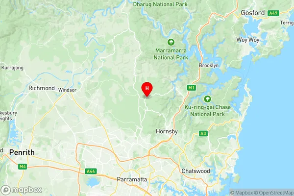
Galston Laughtondale Suburbs & Region, Galston Laughtondale Map & Postcodes
Galston Laughtondale Suburbs & Region, Galston Laughtondale Map & Postcodes in Galston Laughtondale, Hawkesbury, Sydney Baulkham Hills and Hawkesbury, NSW, AU
Galston Laughtondale Region
Region Name
Galston Laughtondale (NSW, AU)Galston Laughtondale Area
191.7 square kilometers (191.7 ㎢)Postal Codes
2082, 2159, and 2775 (In total, there are 3 postcodes in Galston Laughtondale.)Galston Laughtondale Introduction
Galston Laughtondale, Sydney Baulkham Hills and Hawkesbury is a suburb in the state of New South Wales, Australia. It is located in the Hills Shire local government area and is part of the Greater Western Sydney region. The suburb is named after the Galston River, which flows through it. Galston Laughtondale is a relatively new suburb, with most of the development occurring in the 1990s and 2000s. It is a popular residential area with a mix of detached houses, townhouses and apartments. The suburb has a number of parks and recreational facilities, including the Galston Park Sports Complex and the Galston River Walk. It is also home to a number of schools, including Galston High School and Galston Public School. Galston Laughtondale is located approximately 30 kilometres west of Sydney's central business district and is well-connected to the rest of the city via the M2 motorway. It is also a short drive to the beautiful Hawkesbury River and its surrounding national parks.Australia State
City or Big Region
Greater Capital City
Greater Sydney (1GSYD)District or Regional Area
Suburb Name
Galston Laughtondale Region Map

Galston Laughtondale Postcodes / Zip Codes
Galston Laughtondale Suburbs
Galston Laughtondale full address
Galston Laughtondale, Hawkesbury, Sydney Baulkham Hills and Hawkesbury, New South Wales, NSW, Australia, SaCode: 115021298Country
Galston Laughtondale, Hawkesbury, Sydney Baulkham Hills and Hawkesbury, New South Wales, NSW, Australia, SaCode: 115021298
Galston Laughtondale Suburbs & Region, Galston Laughtondale Map & Postcodes has 0 areas or regions above, and there are 9 Galston Laughtondale suburbs below. The sa2code for the Galston Laughtondale region is 115021298. Its latitude and longitude coordinates are -33.6243,151.045. Galston Laughtondale area belongs to Australia's greater capital city Greater Sydney.
Galston Laughtondale Suburbs & Localities
1. Berowra Creek
2. Berowra Waters
3. Berrilee
4. Galston
5. Arcadia
6. Fiddletown
7. Laughtondale
8. Singletons Mill
9. Lower Hawkesbury
