Berowra Waters Area, Berowra Waters Postcode(2082) & Map in Berowra Waters, Sydney - Baulkham Hills and Hawkesbury, NSW
Berowra Waters Area, Berowra Waters Postcode(2082) & Map in Berowra Waters, Sydney - Baulkham Hills and Hawkesbury, NSW, AU, Postcode: 2082
Berowra Waters, Galston - Laughtondale, Dural - Wisemans Ferry, Sydney - Baulkham Hills and Hawkesbury, New South Wales, Australia, 2082
Berowra Waters Postcode
Area Name
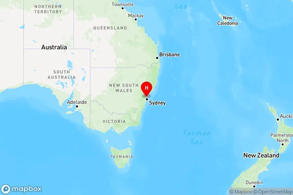
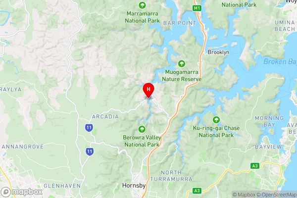
Berowra WatersBerowra Waters Suburb Area Map (Polygon)

Berowra Waters Introduction
Berowra Waters is a beautiful natural waterway located in the Sydney region, providing a peaceful escape from the bustling city. It is surrounded by lush forests and offers a range of activities such as canoeing, kayaking, and fishing. The waterway is also home to a variety of wildlife, including birds, reptiles, and mammals. Visitors can enjoy scenic walks, picnics, and barbecues along the banks of the waterway.State Name
City or Big Region
District or Regional Area
Suburb Name
Berowra Waters Region Map

Country
Main Region in AU
R1Coordinates
-33.602344,151.120659 (latitude/longitude)Berowra Waters Area Map (Street)

Longitude
151.168984Latitude
-33.561858Berowra Waters Elevation
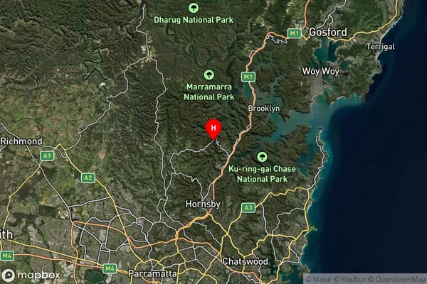
about 0.06 meters height above sea level (Altitude)Berowra Waters Suburb Map (Satellite)

Distances
The distance from Berowra Waters, Sydney - Baulkham Hills and Hawkesbury, NSW to AU Greater Capital CitiesSA1 Code 2011
11502129812SA1 Code 2016
11502129812SA2 Code
115021298SA3 Code
11502SA4 Code
115RA 2011
2RA 2016
2MMM 2015
2MMM 2019
2Charge Zone
N1LGA Region
HornsbyLGA Code
14000Electorate
Berowra