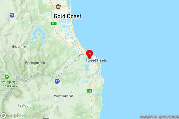
Tweed Heads Suburbs & Region, Tweed Heads Map & Postcodes
Tweed Heads Suburbs & Region, Tweed Heads Map & Postcodes in Tweed Heads, Tweed Valley, Richmond Tweed, NSW, AU
Tweed Heads Region
Region Name
Tweed Heads (NSW, AU)Tweed Heads Area
100.43 square kilometers (100.43 ㎢)Postal Codes
from 2484 to 2486 (In total, there are 3 postcodes in Tweed Heads.)Tweed Heads Introduction
Tweed Heads is a town in the Northern Rivers region of New South Wales, Australia. It is located on the Tweed River, about 95 km south of the state capital, Sydney. The town has a population of around 10,000 people and is known for its beautiful beaches, lush forests, and vibrant cultural scene. Tweed Heads is a popular tourist destination and is home to several attractions, including the Tweed Heads Seagulls Rugby League Club, the Tweed River Regional Gallery, and the Tweed Heads Convention Centre. The town is also a major gateway to the Gold Coast and the Byron Bay region.Australia State
City or Big Region
Greater Capital City
Rest of NSW (1RNSW)District or Regional Area
Suburb Name
Tweed Heads Region Map

Tweed Heads Postcodes / Zip Codes
Tweed Heads Suburbs
Tweed Heads full address
Tweed Heads, Tweed Valley, Richmond Tweed, New South Wales, NSW, Australia, SaCode: 112031254Country
Tweed Heads, Tweed Valley, Richmond Tweed, New South Wales, NSW, Australia, SaCode: 112031254
Tweed Heads Suburbs & Region, Tweed Heads Map & Postcodes has 0 areas or regions above, and there are 13 Tweed Heads suburbs below. The sa2code for the Tweed Heads region is 112031254. Its latitude and longitude coordinates are -28.1786,153.516. Tweed Heads area belongs to Australia's greater capital city Rest of NSW.
Tweed Heads Suburbs & Localities
1. Cobaki Lakes
2. Piggabeen
3. Tomewin
4. Tweed Heads
5. Bilambil
6. Bilambil Heights
7. Duroby
8. Carool
9. Cobaki
10. Upper Duroby
11. Urliup
12. Tweed Heads West
13. Glengarrie
