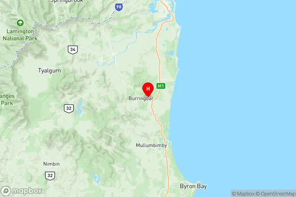
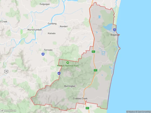
Pottsville Suburbs & Region, Pottsville Map & Postcodes
Pottsville Suburbs & Region, Pottsville Map & Postcodes in Pottsville, Gold Coast Hinterland, Gold Coast, NSW, AU
Pottsville Region
Region Name
Pottsville (NSW, AU)Pottsville Area
189.46 square kilometers (189.46 ㎢)Postal Codes
2483, 2484, and from 2487 to 2489 (In total, there are 5 postcodes in Pottsville.)Pottsville Introduction
Pottsville is a suburb on the Gold Coast, in Queensland, Australia. It is located in the City of Gold Coast local government area. Pottsville is a popular tourist destination due to its proximity to the Gold Coast's beaches and theme parks. The suburb has a number of hotels, resorts, and holiday apartments, as well as a variety of restaurants and cafes. Pottsville also has a shopping centre, a medical centre, and a library. The suburb is well-connected to the rest of the Gold Coast, with easy access to the M1 motorway and public transport.Australia State
City or Big Region
Greater Capital City
Rest of NSW (1RNSW)District or Regional Area
Suburb Name
Pottsville Region Map

Pottsville Postcodes / Zip Codes
Pottsville Suburbs
Pottsville full address
Pottsville, Gold Coast Hinterland, Gold Coast, New South Wales, NSW, Australia, SaCode: 112031253Country
Pottsville, Gold Coast Hinterland, Gold Coast, New South Wales, NSW, Australia, SaCode: 112031253
Pottsville Suburbs & Region, Pottsville Map & Postcodes has 0 areas or regions above, and there are 16 Pottsville suburbs below. The sa2code for the Pottsville region is 112031253. Its latitude and longitude coordinates are -28.4337,153.492. Pottsville area belongs to Australia's greater capital city Rest of NSW.
Pottsville Suburbs & Localities
1. Burringbar
2. Sleepy Hollow
3. Kings Forest
4. Pottsville
5. Round Mountain
6. Bogangar
7. Pottsville Beach
8. Mooball
9. Wooyung
10. Duranbah
11. Hastings Point
12. Crabbes Creek
13. Upper Burringbar
14. Cudgera Creek
15. Cabarita Beach
16. Tanglewood
