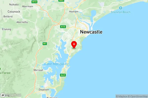
Belmont Bennetts Green Suburbs & Region, Belmont Bennetts Green Map & Postcodes
Belmont Bennetts Green Suburbs & Region, Belmont Bennetts Green Map & Postcodes in Belmont Bennetts Green, Newcastle, Newcastle and Lake Macquarie, NSW, AU
Belmont Bennetts Green Region
Region Name
Belmont Bennetts Green (NSW, AU)Belmont Bennetts Green Area
22.21 square kilometers (22.21 ㎢)Postal Codes
2280, and 2290 (In total, there are 2 postcodes in Belmont Bennetts Green.)Belmont Bennetts Green Introduction
Belmont Bennetts Green is a suburb located in the City of Lake Macquarie of New South Wales, Australia. It is situated in the western part of the city, about 25 kilometers from the central business district. The suburb is named after the former Belmont Estate, which was once a large landholding in the area. Belmont Bennetts Green is a relatively new suburb, with most of the development occurring in the late 20th and early 21st centuries. The suburb has a mix of residential and commercial properties, with many new apartments and townhouses being built. The suburb also has a number of parks and recreational facilities, including a golf course, a bowling club, and a community center. The suburb is well-connected to the rest of the city, with the John Hunter Expressway and the Lake Macquarie Highway providing easy access to the central business district and other parts of the region. The suburb is also served by a number of bus routes, making it easy for residents to get around without a car. In terms of education, Belmont Bennetts Green has a number of schools, including primary and secondary schools, as well as a TAFE campus. The suburb also has a library and a number of healthcare facilities, including a hospital and a medical center. Overall, Belmont Bennetts Green is a popular suburb with a mix of residential and commercial properties, excellent recreational facilities, and good transport links. ItAustralia State
City or Big Region
Greater Capital City
Rest of NSW (1RNSW)District or Regional Area
Suburb Name
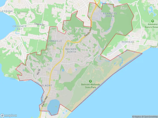
Belmont Bennetts Green Region Map

Belmont Bennetts Green Postcodes / Zip Codes
Belmont Bennetts Green Suburbs
Belmont Bennetts Green full address
Belmont Bennetts Green, Newcastle, Newcastle and Lake Macquarie, New South Wales, NSW, Australia, SaCode: 111011206Country
Belmont Bennetts Green, Newcastle, Newcastle and Lake Macquarie, New South Wales, NSW, Australia, SaCode: 111011206
Belmont Bennetts Green Suburbs & Region, Belmont Bennetts Green Map & Postcodes has 0 areas or regions above, and there are 5 Belmont Bennetts Green suburbs below. The sa2code for the Belmont Bennetts Green region is 111011206. Its latitude and longitude coordinates are -33.0078,151.686. Belmont Bennetts Green area belongs to Australia's greater capital city Rest of NSW.
Belmont Bennetts Green Suburbs & Localities
1. Floraville
2. Belmont North
3. Bennetts Green
4. Jewells
5. Belmont
