Floraville Area, Floraville Postcode(2280) & Map in Floraville, Newcastle and Lake Macquarie, NSW
Floraville Area, Floraville Postcode(2280) & Map in Floraville, Newcastle and Lake Macquarie, NSW, AU, Postcode: 2280
Floraville, Belmont - Bennetts Green, Lake Macquarie - East, Newcastle and Lake Macquarie, New South Wales, Australia, 2280
Floraville Postcode
Area Name
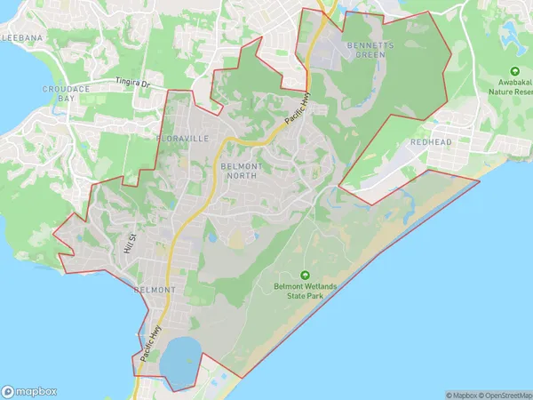
FloravilleFloraville Suburb Area Map (Polygon)

Floraville Introduction
Floraville is a suburb in the City of Lake Macquarie of New South Wales, Australia. It is located on the southern side of the Lake Macquarie River, approximately 60 kilometers (37 mi) north of Sydney's central business district. The suburb is named after the Floraville railway station, which was opened on 1 November 1889.State Name
City or Big Region
District or Regional Area
Suburb Name
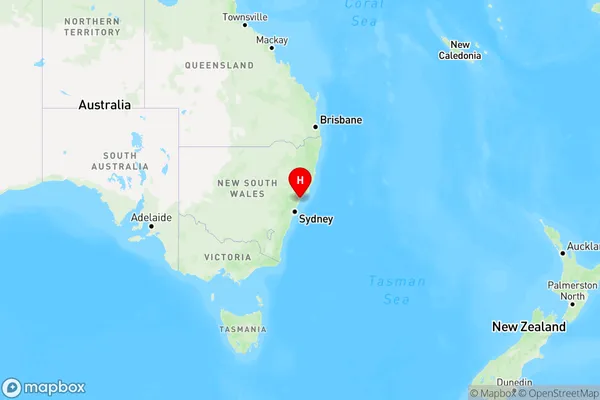
Floraville Region Map

Country
Main Region in AU
R2Coordinates
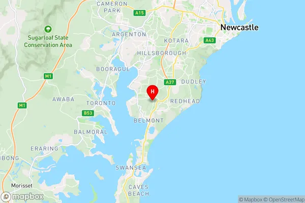
-33.011477,151.6640328 (latitude/longitude)Floraville Area Map (Street)

Longitude
151.663175Latitude
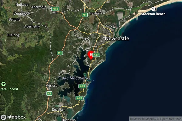
-33.019715Floraville Suburb Map (Satellite)

Distances
The distance from Floraville, Newcastle and Lake Macquarie, NSW to AU Greater Capital CitiesSA1 Code 2011
11101120626SA1 Code 2016
11101120626SA2 Code
111011206SA3 Code
11101SA4 Code
111RA 2011
1RA 2016
1MMM 2015
1MMM 2019
1Charge Zone
N2LGA Region
Lake MacquarieLGA Code
14650Electorate
Shortland