Taree Region Suburbs & Region, Taree Region Map & Postcodes
Taree Region Suburbs & Region, Taree Region Map & Postcodes in Taree Region, Taree Gloucester, Mid North Coast, NSW, AU
Taree Region Region
Region Name
Taree Region (NSW, AU)Taree Region Area
3345 square kilometers (3,345 ㎢)Postal Codes
2324, from 2422 to 2424, 2426, 2427, 2429, 2430, and 2443 (In total, there are 9 postcodes in Taree Region.)Taree Region Introduction
Taree Region is a local government area in the Mid North Coast region of New South Wales, Australia. It is located about 300 km north of Sydney and covers an area of 1,120 square kilometers. The region is home to the city of Taree, which is the administrative center of the area. The Taree Region has a diverse economy, with industries such as agriculture, forestry, fishing, and tourism being major contributors to the region's GDP. The area is also known for its natural beauty, with many national parks and reserves located within its borders.Australia State
City or Big Region
Greater Capital City
Rest of NSW (1RNSW)District or Regional Area
Suburb Name
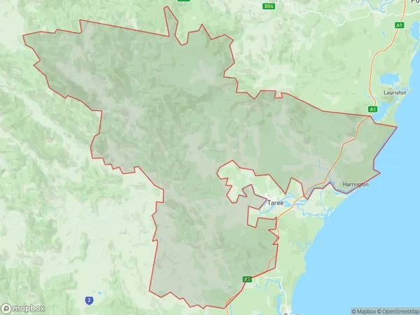
Taree Region Region Map

Taree Region Postcodes / Zip Codes
Taree Region Suburbs
Taree Region full address
Taree Region, Taree Gloucester, Mid North Coast, New South Wales, NSW, Australia, SaCode: 108051170Country
Taree Region, Taree Gloucester, Mid North Coast, New South Wales, NSW, Australia, SaCode: 108051170
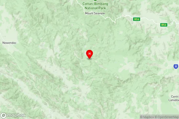
Taree Region Suburbs & Region, Taree Region Map & Postcodes has 0 areas or regions above, and there are 68 Taree Region suburbs below. The sa2code for the Taree Region region is 108051170. Its latitude and longitude coordinates are -31.5792,152.086. Taree Region area belongs to Australia's greater capital city Rest of NSW.
Taree Region Suburbs & Localities
1. Cells River
2. Caffreys Flat
3. Cells River
4. Charity Creek
5. Number One
6. Cedar Party
7. Elands
8. Karaak Flat
9. Krambach
10. The Bight
11. Ghinni Ghinni
12. Jones Island
13. Kiwarrak
14. Coopernook
15. Harrington
16. Bucca Wauka
17. Bulga Forest
18. Bunyah
19. Khatambuhl
20. Killabakh
21. Kings Creek
22. Kippaxs
23. Marlee
24. Wherrol Flat
25. Bootawa
26. Brimbin
27. Hillville
28. Belbora
29. Wang Wauk
30. Cundle Flat
31. Knorrit Flat
32. Knorrit Forest
33. Crowdy Head
34. Bulby Brush
35. Dollys Flat
36. Firefly
37. Kundibakh
38. Mooral Creek
39. Tipperary
40. Croki
41. Cooplacurripa
42. Mount George
43. Rocks Crossing
44. Langley Vale
45. Moto
46. Bobin
47. Burrell Creek
48. Caparra
49. Dingo Forest
50. Dyers Crossing
51. Killawarra
52. Kimbriki
53. Strathcedar
54. Warriwillah
55. Yarratt Forest
56. Lansdowne
57. Stewarts River
58. Kundle Kundle
59. Possum Brush
60. Upper Lansdowne
61. Hannam Vale
62. Lansdowne Forest
63. Melinga
64. Mondrook
65. Waitui
66. Coralville
67. Johns River
68. Moorland
