Bulga Forest Area, Bulga Forest Postcode(2429) & Map in Bulga Forest, Mid North Coast, NSW
Bulga Forest Area, Bulga Forest Postcode(2429) & Map in Bulga Forest, Mid North Coast, NSW, AU, Postcode: 2429
Bulga Forest, Taree Region, Taree - Gloucester, Mid North Coast, New South Wales, Australia, 2429
Bulga Forest Postcode
Area Name
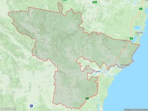
Bulga ForestBulga Forest Suburb Area Map (Polygon)

Bulga Forest Introduction
The Bulga Forest is a temperate rainforest located in the Mid North Coast region of New South Wales, Australia. It is known for its ancient trees, waterfalls, and hiking trails. The forest covers an area of approximately 1,500 square kilometers and is home to a variety of plant and animal species, including the endangered Eastern Grey Kangaroo. The Bulga Forest is a popular destination for outdoor enthusiasts and nature lovers, with many opportunities for camping, hiking, and picnicking.State Name
City or Big Region
District or Regional Area
Suburb Name
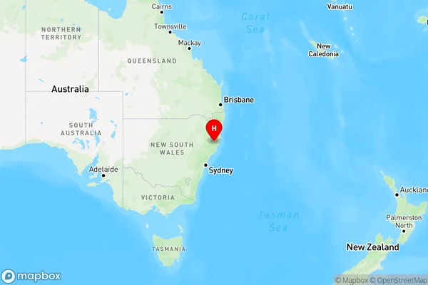
Bulga Forest Region Map

Country
Main Region in AU
R3Coordinates
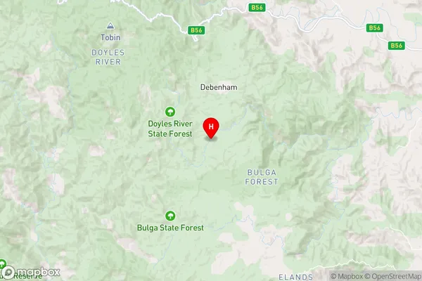
-31.5177453,152.2185075 (latitude/longitude)Bulga Forest Area Map (Street)

Longitude
152.292395Latitude
-31.770375Bulga Forest Elevation
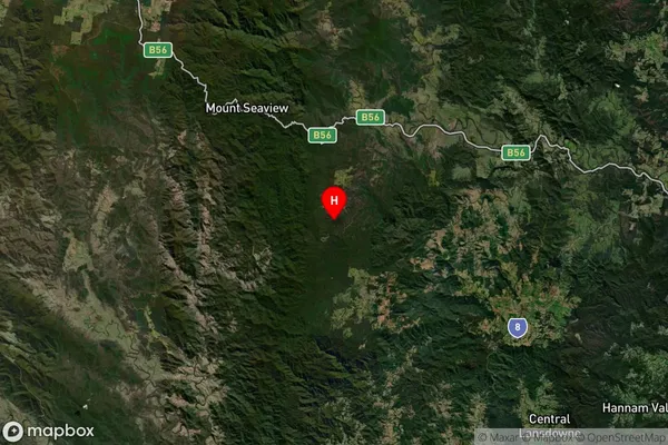
about 107.87 meters height above sea level (Altitude)Bulga Forest Suburb Map (Satellite)

Distances
The distance from Bulga Forest, Mid North Coast, NSW to AU Greater Capital CitiesSA1 Code 2011
10805117003SA1 Code 2016
10805117003SA2 Code
108051170SA3 Code
10805SA4 Code
108RA 2011
3RA 2016
3MMM 2015
5MMM 2019
5Charge Zone
N2LGA Region
Mid-CoastLGA Code
15240Electorate
Lyne