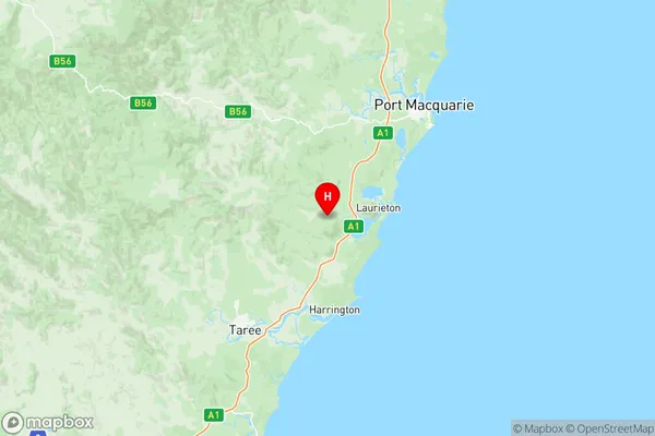
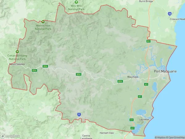
Port Macquarie Suburbs & Region, Port Macquarie Map & Postcodes
Port Macquarie Suburbs & Region, Port Macquarie Map & Postcodes in Port Macquarie, Mid North Coast, NSW, AU
Port Macquarie Region
Region Name
Port Macquarie (NSW, AU)Port Macquarie Area
3688 square kilometers (3,688 ㎢)Postal Codes
2439, 2441, and from 2444 to 2446 (In total, there are 5 postcodes in Port Macquarie.)Port Macquarie Introduction
Port Macquarie is a coastal city in New South Wales, Australia, located on the mid-north coast of the state. It is known for its beautiful beaches, lush hinterland, and relaxed lifestyle. The city has a population of around 20,000 people and is a popular tourist destination, with many attractions and activities to enjoy. The city is surrounded by stunning natural scenery, including the Macquarie Heads National Park, which offers hiking, camping, and wildlife watching. Port Macquarie is also home to a number of cultural institutions, including the Port Macquarie Regional Gallery and the Port Macquarie Museum. The city is a popular retirement destination and is known for its mild climate and relaxed atmosphere.Australia State
City or Big Region
District or Regional Area
Port Macquarie Region Map

Port Macquarie Postcodes / Zip Codes
Port Macquarie Suburbs
Port Macquarie East
Port Macquarie West
Port Macquarie Region
Port Macquarie East
Port Macquarie South
Port Macquarie full address
Port Macquarie, Mid North Coast, New South Wales, NSW, Australia, SaCode: 10804Country
Port Macquarie, Mid North Coast, New South Wales, NSW, Australia, SaCode: 10804
Port Macquarie Suburbs & Region, Port Macquarie Map & Postcodes has 7 areas or regions above, and there are 95 Port Macquarie suburbs below. The sa3code for the Port Macquarie region is 10804. Its latitude and longitude coordinates are -31.6728,152.668.
Port Macquarie Suburbs & Localities
1. Bobs Creek
2. Upsalls Creek
3. Barraganyatti
4. Bril Bril
5. Eungai Creek
6. Gum Scrub
7. Tamban
8. Upper Rollands Plains
9. The Hatch
10. Grants Beach
11. Bago
12. Bellangry
13. Birdwood
14. Byabarra
15. Crosslands
16. Doyles River
17. Ellenborough
18. Forbes River
19. Frazers Creek
20. Huntingdon
21. King Creek
22. Lake Innes
23. Pappinbarra
24. Rawdon Island
25. Black Creek
26. Kew
27. Lorne
28. Swans Crossing
29. Brinerville
30. Browns Crossing
31. Hacks Ferry
32. Kundabung
33. Fernbank Creek
34. Flynns Beach
35. North Shore
36. Riverside
37. Lake Cathie
38. Brombin
39. Cairncross
40. Debenham
41. Gearys Flat
42. Hartys Plains
43. Kindee
44. Mortons Creek
45. Pipeclay
46. Sancrox
47. Werrikimbe
48. Herons Creek
49. Kendall
50. Logans Crossing
51. Rossglen
52. Ballengarra
53. Bonville
54. Fishermans Reach
55. Kippara
56. Marlo Merrican
57. Rollands Plains
58. Yarrahapinni
59. Port Macquarie
60. Port Macquarie Bc
61. Settlement City
62. Bonny Hills
63. Bagnoo
64. Banda Banda
65. Beechwood
66. Hyndmans Creek
67. Marlo Merrican
68. Redbank
69. Toms Creek
70. Upper Pappinbarra
71. Yippin Creek
72. Batar Creek
73. Kerewong
74. Allgomera
75. Allgomera Creek
76. Cooperabung
77. Crossmaglen
78. Eungai Rail
79. Gearys Flat
80. Grassy Head
81. Stuarts Point
82. Telegraph Point
83. Blackmans Point
84. Lighthouse Beach
85. Limeburners Creek
86. Thrumster
87. Jolly Nose
88. Hollisdale
89. Long Flat
90. Lower Pappinbarra
91. Mount Seaview
92. Pembrooke
93. Rosewood
94. Wauchope
95. Yarras
