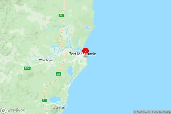
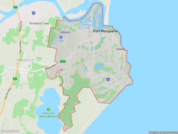
Port Macquarie East Suburbs & Region, Port Macquarie East Map & Postcodes
Port Macquarie East Suburbs & Region, Port Macquarie East Map & Postcodes in Port Macquarie East, Port Macquarie, Mid North Coast, NSW, AU
Port Macquarie East Region
Region Name
Port Macquarie East (NSW, AU)Port Macquarie East Introduction
Port Macquarie East is a suburb in the city of Port Macquarie, New South Wales, Australia. It is located in the Mid North Coast region and is about 350 kilometers north of Sydney. The suburb is named after the Macquarie River, which flows through it. It is a popular tourist destination due to its beautiful beaches, parks, and wildlife. The population of Port Macquarie East is approximately 10,000 people. The suburb has a variety of housing options, including apartments, units, and houses. It also has a number of shopping centers, restaurants, and cafes. The suburb is well-connected to other parts of the region, with a train station and a bus terminal. It is also home to a number of schools, including a primary school and a high school.Australia State
City or Big Region
District or Regional Area
Suburb Name
Port Macquarie East Region Map

Port Macquarie East Suburbs
Port Macquarie East full address
Port Macquarie East, Port Macquarie, Mid North Coast, New South Wales, NSW, Australia, SaCode: 108041163Country
Port Macquarie East, Port Macquarie, Mid North Coast, New South Wales, NSW, Australia, SaCode: 108041163
Port Macquarie East Suburbs & Region, Port Macquarie East Map & Postcodes has 0 areas or regions above, and there are 0 Port Macquarie East suburbs below. The sa2code for the Port Macquarie East region is 108041163. Its latitude and longitude coordinates are -31.4429,152.926.
