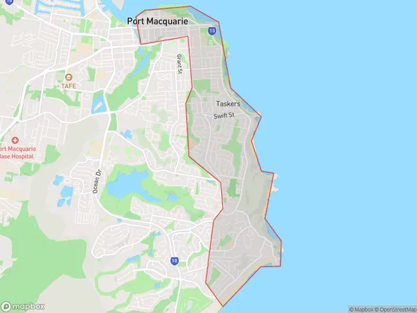
Port Macquarie East Suburbs & Region, Port Macquarie East Map & Postcodes
Port Macquarie East Suburbs & Region, Port Macquarie East Map & Postcodes in Port Macquarie East, Port Macquarie, Mid North Coast, NSW, AU
Port Macquarie East Region
Region Name
Port Macquarie East (NSW, AU)Port Macquarie East Area
7.09 square kilometers (7.09 ㎢)Port Macquarie East Introduction
Port Macquarie East is a suburb in the City of Port Macquarie-Hastings in New South Wales, Australia. It is located on the eastern side of the city and is part of the Mid North Coast region. The suburb is known for its beautiful beaches, including the popular Shelly Beach and Town Beach. It also has a variety of parks and recreational facilities, including a golf course and a skate park. Port Macquarie East is a popular residential area with a mix of older and newer homes. It is close to the city center and has easy access to the region's major highways.Australia State
City or Big Region
Greater Capital City
Rest of NSW (1RNSW)District or Regional Area
Suburb Name
Port Macquarie East Suburbs
Port Macquarie East full address
Port Macquarie East, Port Macquarie, Mid North Coast, New South Wales, NSW, Australia, SaCode: 108041619Country
Port Macquarie East, Port Macquarie, Mid North Coast, New South Wales, NSW, Australia, SaCode: 108041619
Port Macquarie East Suburbs & Region, Port Macquarie East Map & Postcodes has 0 areas or regions above, and there are 0 Port Macquarie East suburbs below. The sa2code for the Port Macquarie East region is 108041619. Port Macquarie East area belongs to Australia's greater capital city Rest of NSW.
