Dubbo Region Suburbs & Region, Dubbo Region Map & Postcodes
Dubbo Region Suburbs & Region, Dubbo Region Map & Postcodes in Dubbo Region, Dubbo, Far West and Orana, NSW, AU
Dubbo Region Region
Region Name
Dubbo Region (NSW, AU)Dubbo Region Area
4129 square kilometers (4,129 ㎢)Dubbo Region Suburb Area Map (Polygon)

Dubbo Region Introduction
The Dubbo Region, Far West and Orana is a region in New South Wales, Australia. It is located in the central west of the state and includes the cities of Dubbo, Wellington, and Narromine. The region is known for its agriculture, particularly for its production of wheat, cotton, and sheep. It is also home to the Dubbo Regional Council and the Dubbo Regional Hospital. The region has a rich history and is home to many historic sites, including the Dubbo Observatory and the Old Dubbo Gaol.Australia State
City or Big Region
Greater Capital City
Rest of NSW (1RNSW)District or Regional Area
Suburb Name
Dubbo Region Region Map
Dubbo Region Suburbs
Dubbo Region full address
Dubbo Region, Dubbo, Far West and Orana, New South Wales, NSW, Australia, SaCode: 105031103Country
Dubbo Region, Dubbo, Far West and Orana, New South Wales, NSW, Australia, SaCode: 105031103
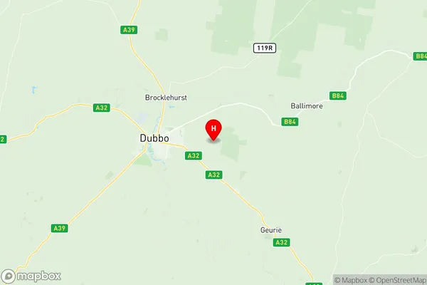
Dubbo Region Suburbs & Region, Dubbo Region Map & Postcodes has 0 areas or regions above, and there are 0 Dubbo Region suburbs below. The sa2code for the Dubbo Region region is 105031103. Its latitude and longitude coordinates are -32.255,148.717. Dubbo Region area belongs to Australia's greater capital city Rest of NSW.