Dubbo South Suburbs & Region, Dubbo South Map & Postcodes
Dubbo South Suburbs & Region, Dubbo South Map & Postcodes in Dubbo South, Dubbo, Far West and Orana, NSW, AU
Dubbo South Region
Region Name
Dubbo South (NSW, AU)Dubbo South Area
25.43 square kilometers (25.43 ㎢)Postal Codes
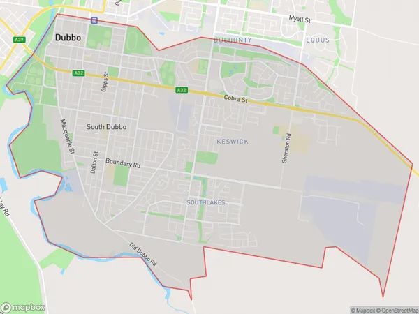
2830 (In total, there are 1 postcodes in Dubbo South.)Dubbo South Suburb Area Map (Polygon)
Dubbo South Introduction
Dubbo South, Far West and Orana is a federal electoral division in New South Wales, Australia. It was created in 1901 and named after the Dubbo region. The division includes the towns of Dubbo, Wellington, and Narromine and covers an area of 11,215 square kilometers. It is represented in the Australian House of Representatives by the Liberal Party of Australia's Tony Smith.Australia State
City or Big Region
Greater Capital City
Rest of NSW (1RNSW)District or Regional Area
Suburb Name
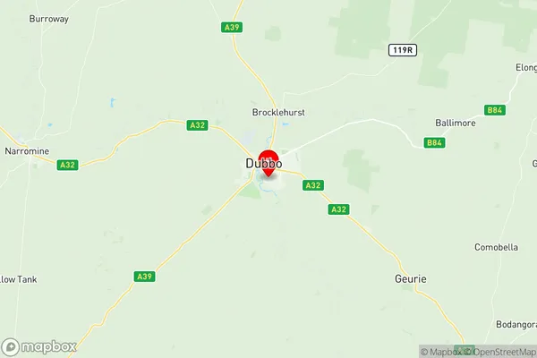
Dubbo South Region Map
Dubbo South Postcodes / Zip Codes
Dubbo South Suburbs
Dubbo South full address
Dubbo South, Dubbo, Far West and Orana, New South Wales, NSW, Australia, SaCode: 105031101Country
Dubbo South, Dubbo, Far West and Orana, New South Wales, NSW, Australia, SaCode: 105031101
Dubbo South Suburbs & Region, Dubbo South Map & Postcodes has 0 areas or regions above, and there are 3 Dubbo South suburbs below. The sa2code for the Dubbo South region is 105031101. Its latitude and longitude coordinates are -32.2682,148.61. Dubbo South area belongs to Australia's greater capital city Rest of NSW.
Dubbo South Suburbs & Localities
1. Talbragar
2. Dubbo Grove
3. Orana Heights