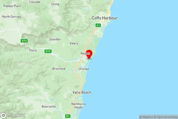
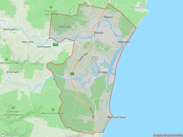
Urunga Suburbs & Region, Urunga Map & Postcodes
Urunga Suburbs & Region, Urunga Map & Postcodes in Urunga, Coffs Harbour, Coffs Harbour Grafton, NSW, AU
Urunga Region
Region Name
Urunga (NSW, AU)Urunga Area
108.41 square kilometers (108.41 ㎢)Postal Codes
2454, and 2455 (In total, there are 2 postcodes in Urunga.)Urunga Introduction
Urunga is a locality in the City of Coffs Harbour, New South Wales, Australia. It is located on the Mid North Coast region and is about 350 kilometers north of Sydney. Urunga is known for its beautiful beaches, including the popular Urunga Beach and Diggers Beach. The area also has a number of national parks and forests, including the Dorrigo National Park and the Mount Werong State Forest. Urunga is a popular tourist destination and has a number of accommodation options, including hotels, resorts, and holiday apartments. The town also has a number of cafes, restaurants, and shops.Australia State
City or Big Region
Greater Capital City
Rest of NSW (1RNSW)District or Regional Area
Suburb Name
Urunga Region Map

Urunga Postcodes / Zip Codes
Urunga Suburbs
Urunga full address
Urunga, Coffs Harbour, Coffs Harbour Grafton, New South Wales, NSW, Australia, SaCode: 104021090Country
Urunga, Coffs Harbour, Coffs Harbour Grafton, New South Wales, NSW, Australia, SaCode: 104021090
Urunga Suburbs & Region, Urunga Map & Postcodes has 0 areas or regions above, and there are 4 Urunga suburbs below. The sa2code for the Urunga region is 104021090. Its latitude and longitude coordinates are -30.4617,153.041. Urunga area belongs to Australia's greater capital city Rest of NSW.
Urunga Suburbs & Localities
1. Raleigh
2. Urunga
3. Repton
4. Mylestom
