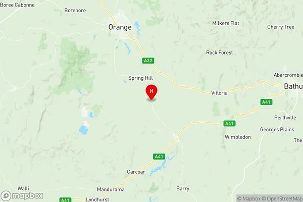
Blayney Suburbs & Region, Blayney Map & Postcodes
Blayney Suburbs & Region, Blayney Map & Postcodes in Blayney, Orange, Central West, NSW, AU
Blayney Region
Region Name
Blayney (NSW, AU)Blayney Area
1643 square kilometers (1,643 ㎢)Blayney Introduction
Blayney is a town in the Central West region of New South Wales, Australia. It is located in the Blayney Shire local government area and is situated on the Macquarie River. The town is known for its historic wool industry and is a popular tourist destination. Blayney is home to the Blayney Courthouse, which is a significant landmark in the area. The town also has a number of parks and recreational facilities, including a golf course and a swimming pool.Australia State
City or Big Region
Greater Capital City
Rest of NSW (1RNSW)District or Regional Area
Suburb Name
Blayney Region Map

Blayney Suburbs
Blayney full address
Blayney, Orange, Central West, New South Wales, NSW, Australia, SaCode: 103041076Country
Blayney, Orange, Central West, New South Wales, NSW, Australia, SaCode: 103041076
Blayney Suburbs & Region, Blayney Map & Postcodes has 0 areas or regions above, and there are 0 Blayney suburbs below. The sa2code for the Blayney region is 103041076. Its latitude and longitude coordinates are -33.45,149.183. Blayney area belongs to Australia's greater capital city Rest of NSW.
