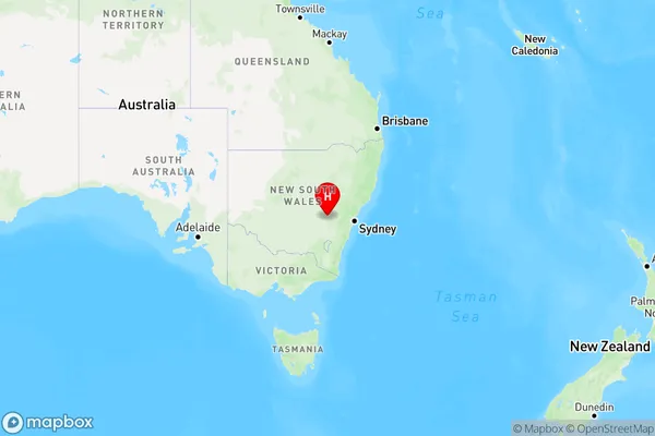
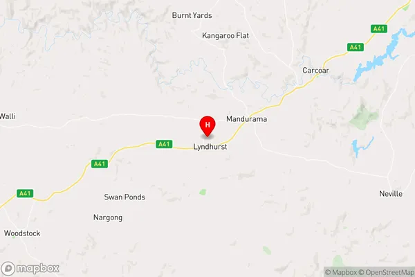
Lyndhurst Area, Lyndhurst Postcode(2797) & Map in Lyndhurst, Central West, NSW
Lyndhurst Area, Lyndhurst Postcode(2797) & Map in Lyndhurst, Central West, NSW, AU, Postcode: 2797
Lyndhurst, Blayney, Orange, Central West, New South Wales, Australia, 2797
Lyndhurst Postcode
Area Name
LyndhurstLyndhurst Suburb Area Map (Polygon)

Lyndhurst Introduction
Lyndhurst is a suburb in the Central West region of New South Wales, Australia. It is located 30 kilometers west of the state capital, Sydney. The suburb is named after the Lyndhurst estate, which was once the home of the wealthy Harris family. Lyndhurst is known for its historic homes and gardens, including the Lyndhurst Manor House, which is a heritage-listed building. The suburb has a population of around 1,500 people and is surrounded by picturesque countryside.State Name
City or Big Region
District or Regional Area
Suburb Name
Lyndhurst Region Map

Country
Main Region in AU
R3Coordinates
-33.666667,149.033333 (latitude/longitude)Lyndhurst Area Map (Street)

Longitude
148.952525Latitude
-33.605124Lyndhurst Suburb Map (Satellite)
Not available for nowDistances
The distance from Lyndhurst, Central West, NSW to AU Greater Capital CitiesSA1 Code 2011
10304107612SA1 Code 2016
10304107612SA2 Code
103041076SA3 Code
10304SA4 Code
103RA 2011
3RA 2016
3MMM 2015
5MMM 2019
5Charge Zone
N2LGA Region
BlayneyLGA Code
10850Electorate
Riverina