Mulgowie Area, Mulgowie Postcode(4341) & Map in Mulgowie, Ipswich, QLD
Mulgowie Area, Mulgowie Postcode(4341) & Map in Mulgowie, Ipswich, QLD, AU, Postcode: 4341
Mulgowie, Lockyer Valley - East, Ipswich Hinterland, Ipswich, Queensland, Australia, 4341
Mulgowie Postcode
Area Name
MulgowieMulgowie Suburb Area Map (Polygon)

Mulgowie Introduction
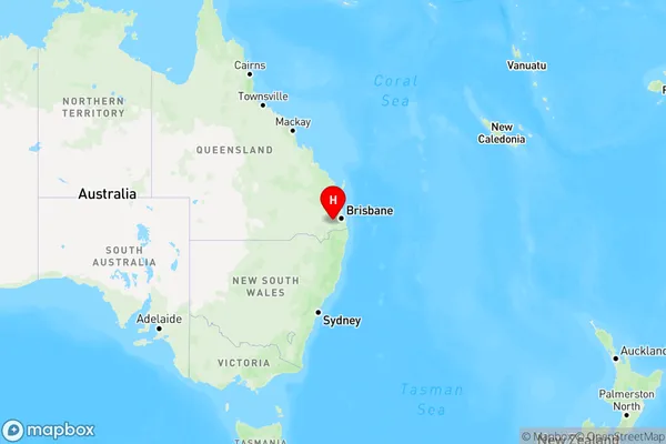
Mulgowie is a suburb of Ipswich, Queensland, Australia, located 40 kilometers from Brisbane. It has a population of approximately 2,000 people and is known for its rural atmosphere and scenic surroundings. The suburb is home to several parks and reserves, including Mulgowie State Forest and Lake Clarendon.State Name
City or Big Region
District or Regional Area
Suburb Name
Mulgowie Region Map
Country
Main Region in AU
R3Coordinates
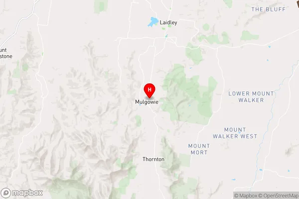
-27.7249038,152.3682506 (latitude/longitude)Mulgowie Area Map (Street)
Longitude
152.396656Latitude
-27.68768Mulgowie Elevation
about 269.58 meters height above sea level (Altitude)Mulgowie Suburb Map (Satellite)
Not available for nowDistances
The distance from Mulgowie, Ipswich, QLD to AU Greater Capital CitiesSA1 Code 2011
31002128022SA1 Code 2016
31002128022SA2 Code
310021280SA3 Code
31002SA4 Code
310RA 2011
2RA 2016
2MMM 2015
5MMM 2019
5Charge Zone
Q2LGA Region
Lockyer ValleyLGA Code
34580Electorate
Wright