Acland Area, Acland Postcode(4401) & Map in Acland, Darling Downs - Maranoa, QLD
Acland Area, Acland Postcode(4401) & Map in Acland, Darling Downs - Maranoa, QLD, AU, Postcode: 4401
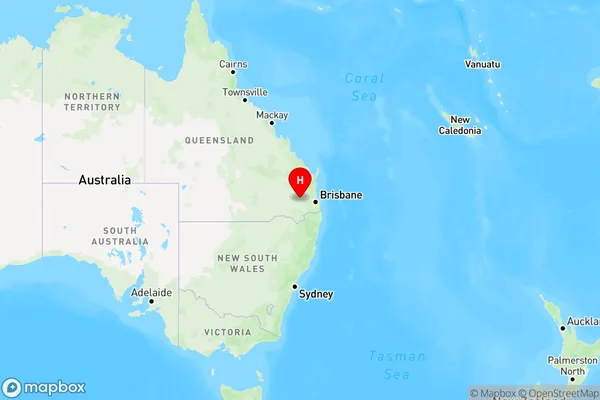
Acland, Crows Nest - Rosalie, Darling Downs - East, Darling Downs - Maranoa, Queensland, Australia, 4401
Acland Postcode
Area Name
AclandAcland Suburb Area Map (Polygon)

Acland Introduction
Acland is a town in the Maranoa region of Queensland, Australia. It is located on the Darling Downs and is known for its agricultural industry, particularly wheat and cotton. The town has a population of around 2,000 people and is home to several schools, a hospital, and a number of parks and recreational facilities.State Name
City or Big Region
District or Regional Area
Suburb Name
Acland Region Map
Country
Main Region in AU
R3Coordinates
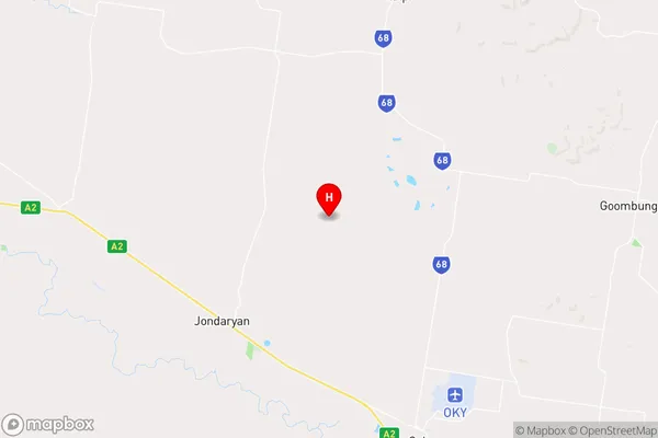
-27.3121579,151.6592842 (latitude/longitude)Acland Area Map (Street)
Longitude
151.703647Latitude
-27.473135Acland Suburb Map (Satellite)

Distances
The distance from Acland, Darling Downs - Maranoa, QLD to AU Greater Capital CitiesSA1 Code 2011
30702117921SA1 Code 2016
30702117921SA2 Code
307021179SA3 Code
30702SA4 Code
307RA 2011
2RA 2016
2MMM 2015
5MMM 2019
5Charge Zone
Q2LGA Region
ToowoombaLGA Code
36910Electorate
Groom