Battery Hill Area, Battery Hill Postcode(4551) & Map in Battery Hill, Sunshine Coast, QLD
Battery Hill Area, Battery Hill Postcode(4551) & Map in Battery Hill, Sunshine Coast, QLD, AU, Postcode: 4551
Battery Hill, Moffat Beach - Battery Hill, Caloundra, Sunshine Coast, Queensland, Australia, 4551
Battery Hill Postcode
Area Name
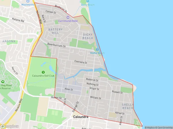
Battery HillBattery Hill Suburb Area Map (Polygon)
Battery Hill Introduction
Battery Hill is a suburb of the Sunshine Coast, Queensland, Australia, located 10 km north of Maroochydore. It is named after the nearby Battery Hill Battery, which was built in 1942 to protect the coast from Japanese invasion. The suburb has a population of approximately 4,000 people and is known for its natural beauty, including parks, beaches, and hiking trails.State Name
City or Big Region
District or Regional Area
Suburb Name
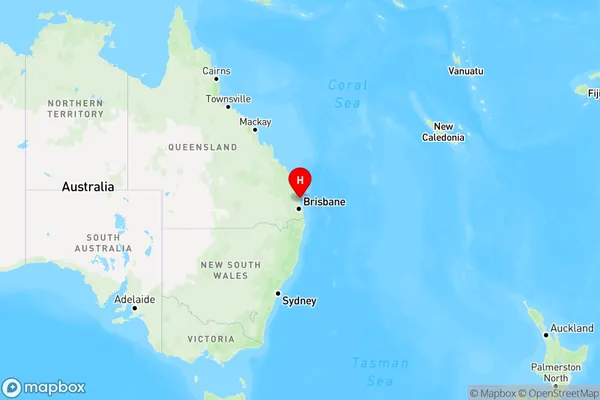
Battery Hill Region Map
Country
Main Region in AU
R2Coordinates
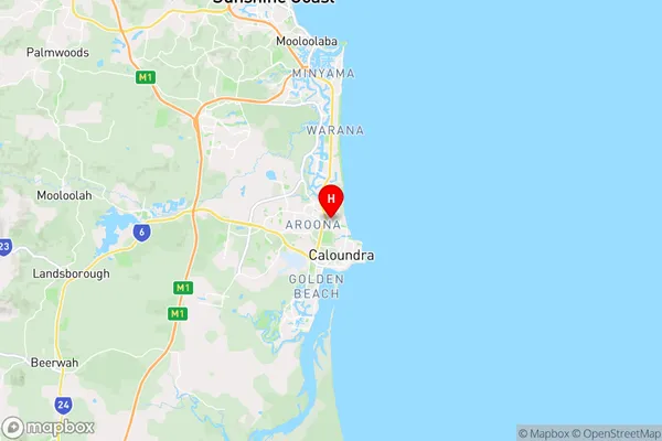
-26.779,153.129 (latitude/longitude)Battery Hill Area Map (Street)
Longitude
153.088435Latitude
-26.828067Battery Hill Elevation
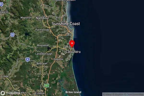
about 9.65 meters height above sea level (Altitude)Battery Hill Suburb Map (Satellite)
Distances
The distance from Battery Hill, Sunshine Coast, QLD to AU Greater Capital CitiesSA1 Code 2011
31602142210SA1 Code 2016
31602142210SA2 Code
316021422SA3 Code
31602SA4 Code
316RA 2011
1RA 2016
1MMM 2015
1MMM 2019
1Charge Zone
Q2LGA Region
Sunshine CoastLGA Code
36720Electorate
Fisher