Beerwah Area, Beerwah Postcode(4519) & Map in Beerwah, Sunshine Coast, QLD
Beerwah Area, Beerwah Postcode(4519) & Map in Beerwah, Sunshine Coast, QLD, AU, Postcode: 4519
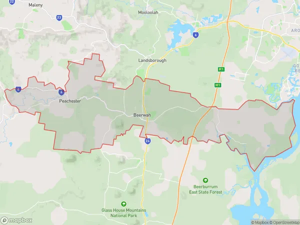
Beerwah, Beerwah, Sunshine Coast Hinterland, Sunshine Coast, Queensland, Australia, 4519
Beerwah Postcode
Area Name
BeerwahBeerwah Suburb Area Map (Polygon)
Beerwah Introduction
Beerwah is a town in the Sunshine Coast region of Queensland, Australia, located 72 km north of Brisbane. It is known for its scenic beauty, including the Glass House Mountains and the Beerwah State Forest. The town has a population of around 10,000 people and offers a range of amenities, including a shopping center, a hospital, and a golf course.State Name
City or Big Region
District or Regional Area
Suburb Name
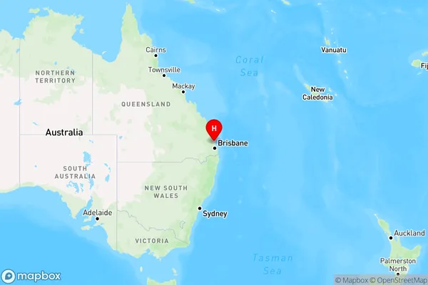
Beerwah Region Map
Country
Main Region in AU
R2Coordinates
-26.8573189,152.955167 (latitude/longitude)Beerwah Area Map (Street)
Not available for nowLongitude
152.91803Latitude
-26.849388Beerwah Elevation
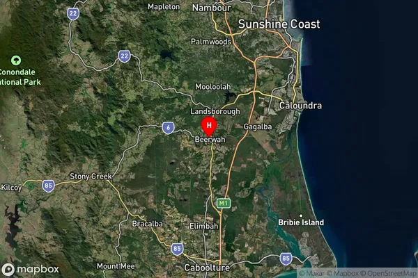
about 50.35 meters height above sea level (Altitude)Beerwah Suburb Map (Satellite)
Distances
The distance from Beerwah, Sunshine Coast, QLD to AU Greater Capital CitiesSA1 Code 2011
31606143909SA1 Code 2016
31606143916SA2 Code
316061439SA3 Code
31606SA4 Code
316RA 2011
2RA 2016
2MMM 2015
2MMM 2019
2Charge Zone
Q1LGA Region
Sunshine CoastLGA Code
36720Electorate
Fisher