Newry Area, Newry Postcode(3859) & Map in Newry, Latrobe - Gippsland, VIC
Newry Area, Newry Postcode(3859) & Map in Newry, Latrobe - Gippsland, VIC, AU, Postcode: 3859
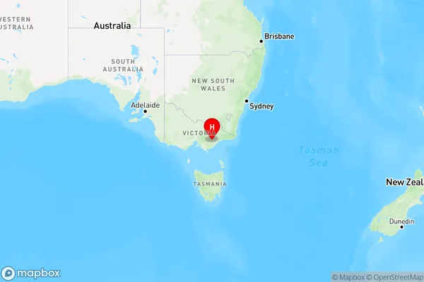
Newry, Maffra, Wellington, Latrobe - Gippsland, Victoria, Australia, 3859
Newry Postcode
Area Name
NewryNewry Suburb Area Map (Polygon)

Newry Introduction
Newry, Latrobe is a town in Gippsland, Victoria, Australia, located on the Latrobe River. It is known for its scenic beauty, including the nearby Tarra-Bulga National Park and the Strzelecki Ranges. The town has a population of around 1,500 people and is a popular destination for fishing, hiking, and camping.State Name
City or Big Region
District or Regional Area
Suburb Name
Newry Region Map
Country
Main Region in AU
R3Coordinates
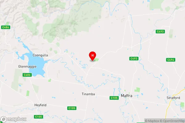
-37.905059,146.900704 (latitude/longitude)Newry Area Map (Street)
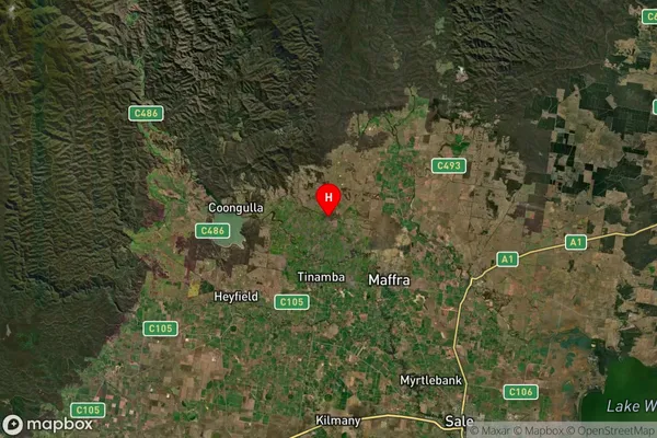
Longitude
146.848259Latitude
-37.886136Newry Suburb Map (Satellite)
Distances
The distance from Newry, Latrobe - Gippsland, VIC to AU Greater Capital CitiesSA1 Code 2011
20505110109SA1 Code 2016
20505110109SA2 Code
205051101SA3 Code
20505SA4 Code
205RA 2011
2RA 2016
2MMM 2015
5MMM 2019
5Charge Zone
V2LGA Region
WellingtonLGA Code
26810Electorate
Gippsland