Woolamai Area, Woolamai Postcode(3995) & Map in Woolamai, Latrobe - Gippsland, VIC
Woolamai Area, Woolamai Postcode(3995) & Map in Woolamai, Latrobe - Gippsland, VIC, AU, Postcode: 3995
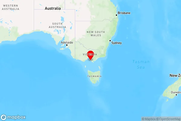
Woolamai, Wonthaggi - Inverloch, Gippsland - South West, Latrobe - Gippsland, Victoria, Australia, 3995
Woolamai Postcode
Area Name
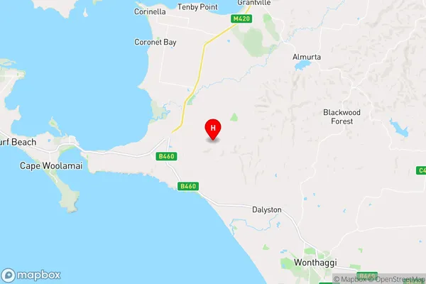
WoolamaiWoolamai Suburb Area Map (Polygon)

Woolamai Introduction
Woolamai is a small town located in the Gippsland region of Victoria, Australia. It is known for its beautiful beaches, fishing spots, and scenic walks. Woolamai is also home to the Woolamai Surf Life Saving Club, which provides lifeguard services and hosts events throughout the year.State Name
City or Big Region
District or Regional Area
Suburb Name
Woolamai Region Map
Country
Main Region in AU
R3Coordinates
-38.5133112,145.4921696 (latitude/longitude)Woolamai Area Map (Street)
Longitude
145.630713Latitude
-38.578071Woolamai Elevation
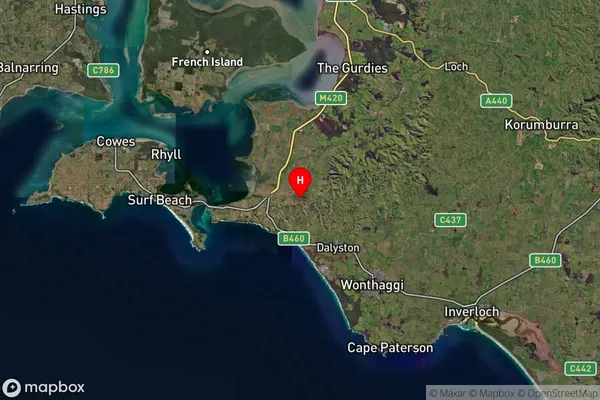
about 18.65 meters height above sea level (Altitude)Woolamai Suburb Map (Satellite)
Distances
The distance from Woolamai, Latrobe - Gippsland, VIC to AU Greater Capital CitiesSA1 Code 2011
20503109307SA1 Code 2016
20503109307SA2 Code
205031093SA3 Code
20503SA4 Code
205RA 2011
2RA 2016
2MMM 2015
5MMM 2019
5Charge Zone
V2LGA Region
Bass CoastLGA Code
20740Electorate
Monash