The Gurdies Area, The Gurdies Postcode(3984) & Map in The Gurdies, Latrobe - Gippsland, VIC
The Gurdies Area, The Gurdies Postcode(3984) & Map in The Gurdies, Latrobe - Gippsland, VIC, AU, Postcode: 3984
The Gurdies, Wonthaggi - Inverloch, Gippsland - South West, Latrobe - Gippsland, Victoria, Australia, 3984
The Gurdies Postcode
Area Name
The GurdiesThe Gurdies Suburb Area Map (Polygon)

The Gurdies Introduction
The Gurdies is a small rural township located in the Gippsland region of Victoria, Australia. It is situated approximately 250 kilometers east of Melbourne and 10 kilometers south of Traralgon. The township is named after the Gurdies River, which flows through it. The Gurdies is a popular tourist destination, with many visitors coming to enjoy the natural beauty of the area, including the Gurdies National Park and the Gurdies Falls. The township also has a number of historic buildings, including the Gurdies Hotel, which was built in 1892.State Name
City or Big Region
District or Regional Area
Suburb Name
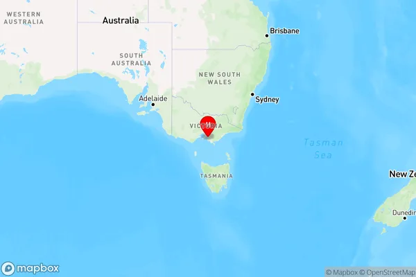
The Gurdies Region Map

Country
Main Region in AU
R3Coordinates
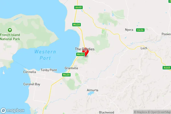
-38.3863916,145.5659261 (latitude/longitude)The Gurdies Area Map (Street)

Longitude
145.563979Latitude
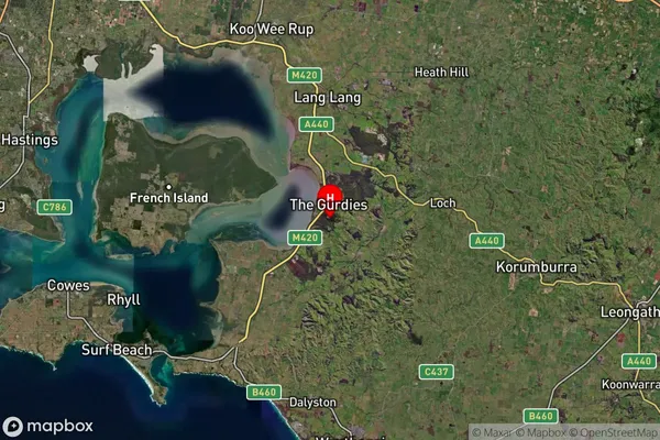
-38.312647The Gurdies Suburb Map (Satellite)

Distances
The distance from The Gurdies, Latrobe - Gippsland, VIC to AU Greater Capital CitiesSA1 Code 2011
20503109320SA1 Code 2016
20503109320SA2 Code
205031093SA3 Code
20503SA4 Code
205RA 2011
2RA 2016
2MMM 2015
5MMM 2019
5Charge Zone
V2LGA Region
Bass CoastLGA Code
20740Electorate
Monash