Shallow Inlet Area, Shallow Inlet Postcode(3960) & Map in Shallow Inlet, Latrobe - Gippsland, VIC
Shallow Inlet Area, Shallow Inlet Postcode(3960) & Map in Shallow Inlet, Latrobe - Gippsland, VIC, AU, Postcode: 3960
Shallow Inlet, Foster, Gippsland - South West, Latrobe - Gippsland, Victoria, Australia, 3960
Shallow Inlet Postcode
Area Name
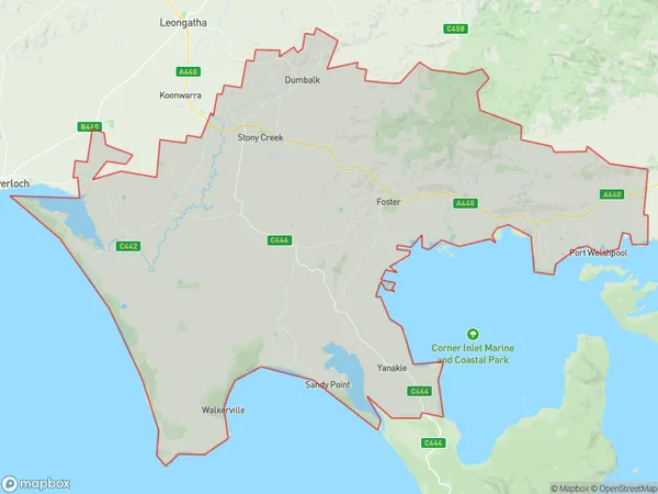
Shallow InletShallow Inlet Suburb Area Map (Polygon)

Shallow Inlet Introduction
Shallow Inlet is a beautiful and serene beach located in the Gippsland region of Victoria, Australia. It is known for its crystal-clear waters, stunning coastal scenery, and peaceful atmosphere. The inlet is a popular spot for swimming, fishing, and kayaking, and it is surrounded by lush forests and picturesque mountains. Visitors can also enjoy walking along the beach or exploring the nearby trails and boardwalks.State Name
City or Big Region
District or Regional Area
Suburb Name
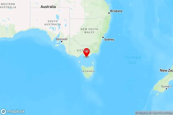
Shallow Inlet Region Map

Country
Main Region in AU
R3Coordinates
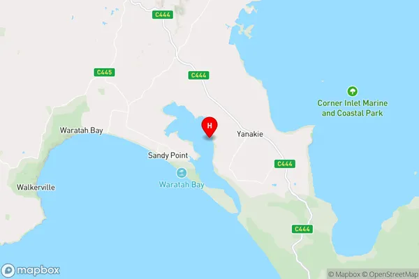
-38.8166667,146.1666667 (latitude/longitude)Shallow Inlet Area Map (Street)

Longitude
146.360412Latitude
-39.140761Shallow Inlet Elevation
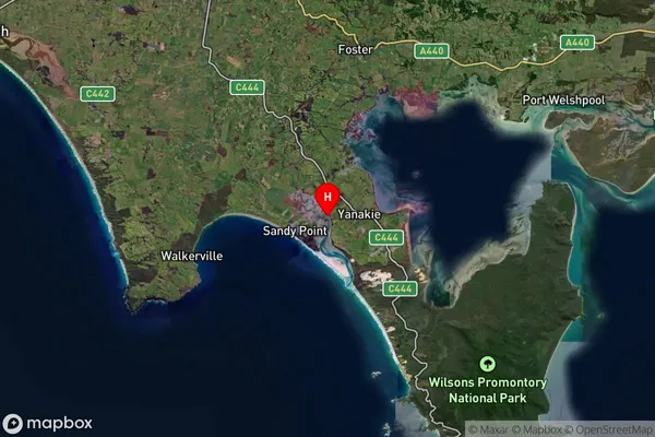
about 10.23 meters height above sea level (Altitude)Shallow Inlet Suburb Map (Satellite)

Distances
The distance from Shallow Inlet, Latrobe - Gippsland, VIC to AU Greater Capital CitiesSA1 Code 2011
20503108722SA1 Code 2016
20503108722SA2 Code
205031087SA3 Code
20503SA4 Code
205RA 2011
3RA 2016
3MMM 2015
5MMM 2019
5Charge Zone
V2LGA Region
South GippslandLGA Code
26170Electorate
Monash