Waratah Bay Area, Waratah Bay Postcode(3959) & Map in Waratah Bay, Latrobe - Gippsland, VIC
Waratah Bay Area, Waratah Bay Postcode(3959) & Map in Waratah Bay, Latrobe - Gippsland, VIC, AU, Postcode: 3959
Waratah Bay, Foster, Gippsland - South West, Latrobe - Gippsland, Victoria, Australia, 3959
Waratah Bay Postcode
Area Name
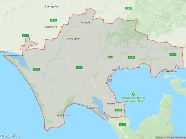
Waratah BayWaratah Bay Suburb Area Map (Polygon)

Waratah Bay Introduction
Waratah Bay is a beautiful and peaceful coastal area located in Latrobe - Gippsland, Victoria, Australia. It is known for its stunning natural beauty, including crystal-clear waters, sandy beaches, and lush coastal forests. The bay is a popular spot for swimming, fishing, and boating, and it is home to a variety of wildlife, including seals, dolphins, and birds. The bay is also a significant cultural site for the indigenous Gippsland people, with many important archaeological and historical sites located nearby.State Name
City or Big Region
District or Regional Area
Suburb Name
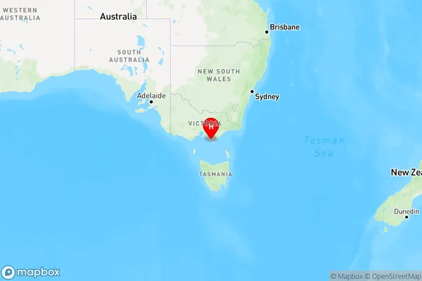
Waratah Bay Region Map

Country
Main Region in AU
R3Coordinates
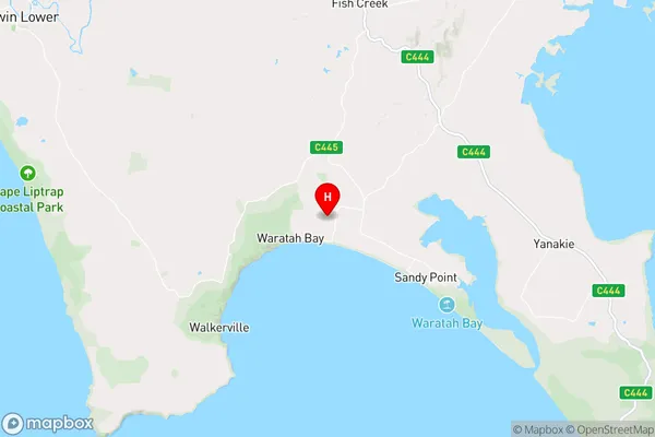
-38.79999,146.0640244 (latitude/longitude)Waratah Bay Area Map (Street)

Longitude
146.066529Latitude
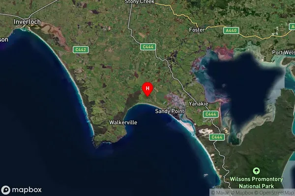
-38.734636Waratah Bay Suburb Map (Satellite)

Distances
The distance from Waratah Bay, Latrobe - Gippsland, VIC to AU Greater Capital CitiesSA1 Code 2011
20503108721SA1 Code 2016
20503108721SA2 Code
205031087SA3 Code
20503SA4 Code
205RA 2011
3RA 2016
3MMM 2015
5MMM 2019
5Charge Zone
V2LGA Region
South GippslandLGA Code
26170Electorate
Monash