Stafford Bc Area, Stafford Bc Postcode(4053) & Map in Stafford Bc, Brisbane - North, QLD
Stafford Bc Area, Stafford Bc Postcode(4053) & Map in Stafford Bc, Brisbane - North, QLD, AU, Postcode: 4053
Stafford Bc, Stafford, Chermside, Brisbane - North, Queensland, Australia, 4053
Stafford Bc Postcode
Area Name
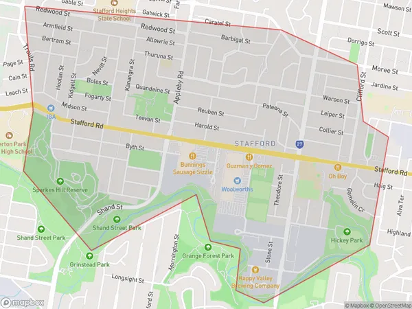
Stafford BcStafford Bc Suburb Area Map (Polygon)
Stafford Bc Introduction
Stafford is a suburb in the City of Brisbane, Queensland, Australia. It is located 7 kilometers north of the Brisbane CBD. The suburb has a population of around 11,000 people and is known for its well-maintained homes, leafy parks, and convenient location. Stafford has a variety of shopping centers, including Stafford City Shopping Centre and Westfield Chermside. It also has several schools, including St. Joseph's College and Stafford State School. The suburb is surrounded by natural beauty, with the Brisbane River and the Brisbane Forest Park nearby.State Name
City or Big Region
District or Regional Area
Suburb Name
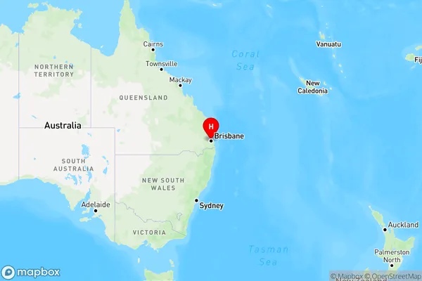
Stafford Bc Region Map
Country
Main Region in AU
R1Coordinates
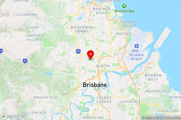
-27.4185,153.014 (latitude/longitude)Stafford Bc Area Map (Street)
Longitude
152.98725Latitude
-27.399573Stafford Bc Elevation
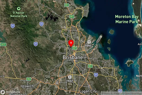
about 49.70 meters height above sea level (Altitude)Stafford Bc Suburb Map (Satellite)
Distances
The distance from Stafford Bc, Brisbane - North, QLD to AU Greater Capital CitiesSA1 Code 2011
30202103207SA1 Code 2016
30202103220SA2 Code
302021032SA3 Code
30202SA4 Code
302RA 2011
1RA 2016
1MMM 2015
1MMM 2019
1Charge Zone
Q1LGA Region
BrisbaneLGA Code
31000Electorate
Ryan