Rathscar Area, Rathscar Postcode(3465) & Map in Rathscar, Ballarat, VIC
Rathscar Area, Rathscar Postcode(3465) & Map in Rathscar, Ballarat, VIC, AU, Postcode: 3465
Rathscar, Avoca, Maryborough - Pyrenees, Ballarat, Victoria, Australia, 3465
Rathscar Postcode
Area Name
RathscarRathscar Suburb Area Map (Polygon)

Rathscar Introduction
Rathscar is a locality in the City of Ballarat, Victoria, Australia. It is located approximately 5 km north-west of the central business district. Rathscar was named after the Rathscar mine, which operated in the area from 1858 to 1958. The mine was a major source of gold and silver and played a significant role in the development of Ballarat. Today, Rathscar is a residential suburb with a variety of housing styles, including historic homes and modern apartments. It is also home to several parks and recreational facilities, including the Rathscar Golf Club and the Rathscar Reserve.State Name
City or Big Region
District or Regional Area
Suburb Name
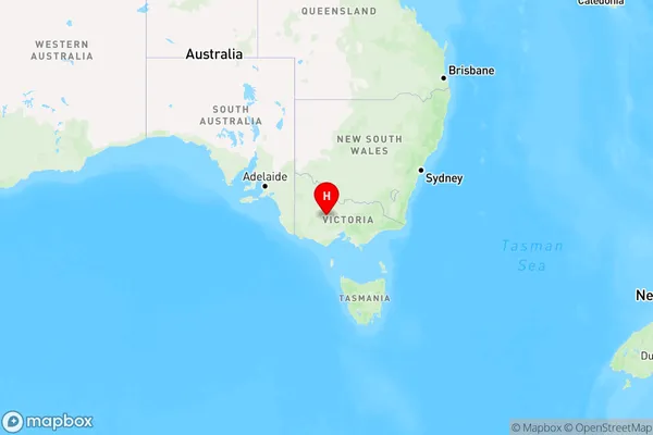
Rathscar Region Map

Country
Main Region in AU
R3Coordinates
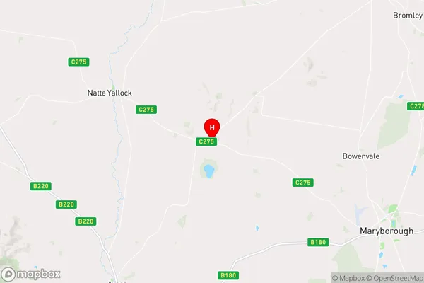
-36.9788504,143.5666075 (latitude/longitude)Rathscar Area Map (Street)

Longitude
143.611335Latitude
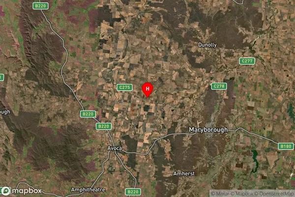
-37.021478Rathscar Suburb Map (Satellite)

Distances
The distance from Rathscar, Ballarat, VIC to AU Greater Capital CitiesSA1 Code 2011
20103101305SA1 Code 2016
20103101305SA2 Code
201031013SA3 Code
20103SA4 Code
201RA 2011
2RA 2016
2MMM 2015
5MMM 2019
5Charge Zone
V2LGA Region
Central GoldfieldsLGA Code
21670Electorate
Mallee