Perkins Reef Area, Perkins Reef Postcode(3463) & Map in Perkins Reef, Bendigo, VIC
Perkins Reef Area, Perkins Reef Postcode(3463) & Map in Perkins Reef, Bendigo, VIC, AU, Postcode: 3463
Perkins Reef, Castlemaine Region, Heathcote - Castlemaine - Kyneton, Bendigo, Victoria, Australia, 3463
Perkins Reef Postcode
Area Name
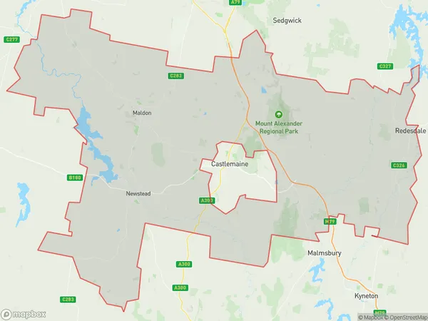
Perkins ReefPerkins Reef Suburb Area Map (Polygon)

Perkins Reef Introduction
Perkins Reef is a reef located off the coast of Bendigo, Victoria, Australia. It is a popular spot for snorkeling and diving due to its clear waters and diverse marine life. The reef is named after John Perkins, a local businessman who was instrumental in its protection and conservation.State Name
City or Big Region
District or Regional Area
Suburb Name
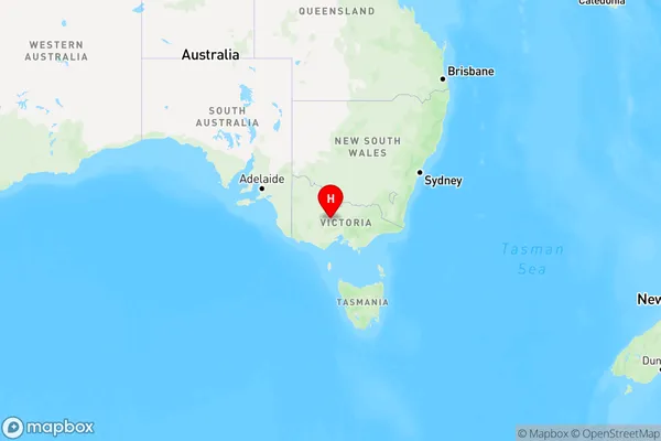
Perkins Reef Region Map

Country
Main Region in AU
R3Coordinates
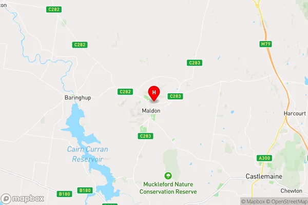
-36.9875311,144.0729356 (latitude/longitude)Perkins Reef Area Map (Street)

Longitude
144.05651Latitude
-36.957983Perkins Reef Elevation
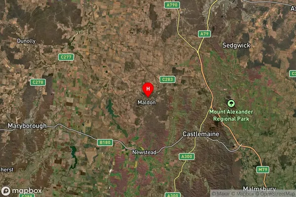
about 276.45 meters height above sea level (Altitude)Perkins Reef Suburb Map (Satellite)

Distances
The distance from Perkins Reef, Bendigo, VIC to AU Greater Capital CitiesSA1 Code 2011
20202102817SA1 Code 2016
20202102817SA2 Code
202021028SA3 Code
20202SA4 Code
202RA 2011
2RA 2016
2MMM 2015
5MMM 2019
5Charge Zone
V2LGA Region
Mount AlexanderLGA Code
25430Electorate
Mallee