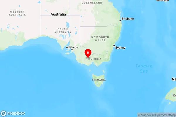
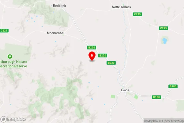
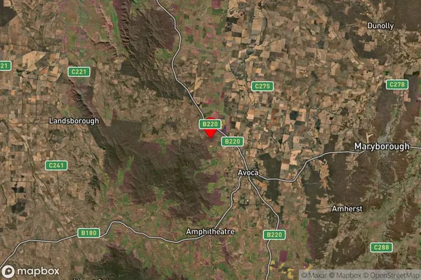
Percydale Area, Percydale Postcode(3478) & Map in Percydale, Ballarat, VIC
Percydale Area, Percydale Postcode(3478) & Map in Percydale, Ballarat, VIC, AU, Postcode: 3478
Percydale, Avoca, Maryborough - Pyrenees, Ballarat, Victoria, Australia, 3478
Percydale Postcode
Area Name
PercydalePercydale Suburb Area Map (Polygon)

Percydale Introduction
Percydale is a suburb located in the Western District of Ballarat, Victoria, Australia. It is named after the Percy family, who were early settlers in the area. The suburb has a rich history and is known for its historic buildings, including the Percydale Hotel and the Percydale Post Office. It is also home to a variety of recreational facilities, including a cricket club, a golf course, and a swimming pool.State Name
City or Big Region
District or Regional Area
Suburb Name
Percydale Region Map

Country
Main Region in AU
R3Coordinates
-37.0383525,143.401068 (latitude/longitude)Percydale Area Map (Street)

Longitude
143.230699Latitude
-36.688551Percydale Elevation
about 301.30 meters height above sea level (Altitude)Percydale Suburb Map (Satellite)

Distances
The distance from Percydale, Ballarat, VIC to AU Greater Capital CitiesSA1 Code 2011
20103101304SA1 Code 2016
20103101304SA2 Code
201031013SA3 Code
20103SA4 Code
201RA 2011
3RA 2016
2MMM 2015
5MMM 2019
5Charge Zone
V2LGA Region
Northern GrampiansLGA Code
25810Electorate
Mallee