Oakvale Area, Oakvale Postcode(3540) & Map in Oakvale, North West, VIC
Oakvale Area, Oakvale Postcode(3540) & Map in Oakvale, North West, VIC, AU, Postcode: 3540
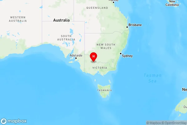
Oakvale, Gannawarra, Murray River - Swan Hill, North West, Victoria, Australia, 3540
Oakvale Postcode
Area Name
OakvaleOakvale Suburb Area Map (Polygon)

Oakvale Introduction
Oakvale is a suburb in the City of Whittlesea, Victoria, Australia. It is located 16 km north-east of Melbourne's central business district. The post office opened as Oakleigh on 1 October 1924 and was closed on 1 March 1927. It was reopened as Oakvale on 1 July 1928.State Name
City or Big Region
District or Regional Area
Suburb Name
Oakvale Region Map
Country
Main Region in AU
R3Coordinates
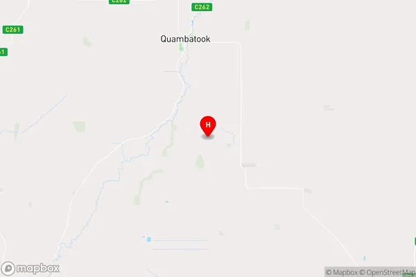
-35.9300673,143.5432638 (latitude/longitude)Oakvale Area Map (Street)
Longitude
143.45008Latitude
-35.89277Oakvale Elevation
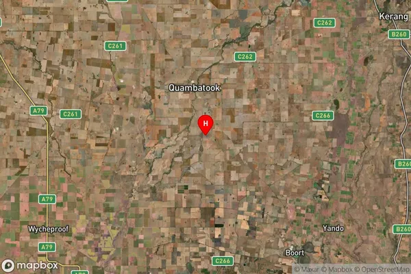
about 94.96 meters height above sea level (Altitude)Oakvale Suburb Map (Satellite)
Distances
The distance from Oakvale, North West, VIC to AU Greater Capital CitiesSA1 Code 2011
21503140109SA1 Code 2016
21503140109SA2 Code
215031401SA3 Code
21503SA4 Code
215RA 2011
3RA 2016
3MMM 2015
5MMM 2019
5Charge Zone
V2LGA Region
GannawarraLGA Code
22250Electorate
Mallee