Cullen Area, Cullen Postcode(3568) & Map in Cullen, North West, VIC
Cullen Area, Cullen Postcode(3568) & Map in Cullen, North West, VIC, AU, Postcode: 3568
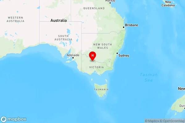
Cullen, Gannawarra, Murray River - Swan Hill, North West, Victoria, Australia, 3568
Cullen Postcode
Area Name
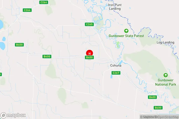
CullenCullen Suburb Area Map (Polygon)

Cullen Introduction
Cullen is a small town in North West Victoria, Australia. It is located in the Shire of Buloke, 135 kilometers north-west of Melbourne. The town is named after John Cullen, who was the first European to settle in the area. Cullen has a population of around 2,000 people and is known for its agricultural industry, including wheat and sheep farming. The town also has a historic railway station and a community hall.State Name
City or Big Region
District or Regional Area
Suburb Name
Cullen Region Map
Country
Main Region in AU
R3Coordinates
-35.797159,144.1595323 (latitude/longitude)Cullen Area Map (Street)
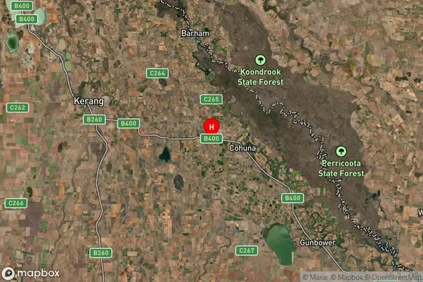
Longitude
144.184089Latitude
-35.809462Cullen Suburb Map (Satellite)
Distances
The distance from Cullen, North West, VIC to AU Greater Capital CitiesSA1 Code 2011
21503140119SA1 Code 2016
21503140119SA2 Code
215031401SA3 Code
21503SA4 Code
215RA 2011
3RA 2016
3MMM 2015
5MMM 2019
5Charge Zone
V2LGA Region
GannawarraLGA Code
22250Electorate
Mallee