Beenak Area, Beenak Postcode(3139) & Map in Beenak, Melbourne - Outer East, VIC
Beenak Area, Beenak Postcode(3139) & Map in Beenak, Melbourne - Outer East, VIC, AU, Postcode: 3139
Beenak, Yarra Valley, Yarra Ranges, Melbourne - Outer East, Victoria, Australia, 3139
Beenak Postcode
Area Name
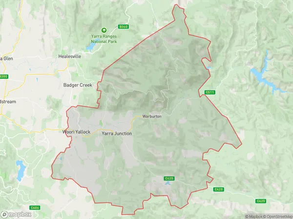
BeenakBeenak Suburb Area Map (Polygon)

Beenak Introduction
Beenak is a suburb in Melbourne's outer east, located 11 kilometers from the CBD. It is named after the Beenak Creek, which flows through the suburb. The suburb has a variety of housing styles, including single-story homes, townhouses, and apartments. It is home to a number of parks and recreational facilities, including the Beenak Reserve, which has a playground, walking trails, and a cricket oval. The suburb has a strong sense of community and is known for its friendly residents and quiet atmosphere.State Name
City or Big Region
District or Regional Area
Suburb Name
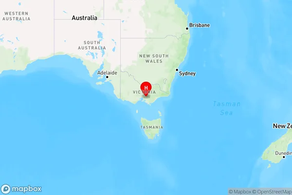
Beenak Region Map

Country
Main Region in AU
R3Coordinates
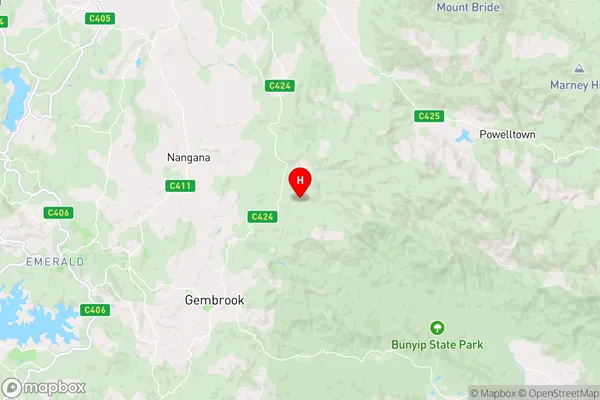
-37.8986154,145.6090481 (latitude/longitude)Beenak Area Map (Street)

Longitude
145.532666Latitude
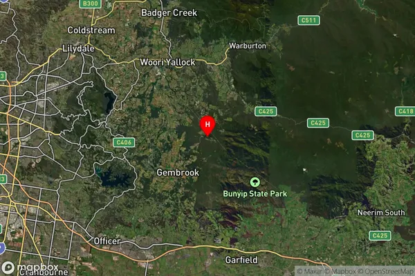
-37.814506Beenak Suburb Map (Satellite)

Distances
The distance from Beenak, Melbourne - Outer East, VIC to AU Greater Capital CitiesSA1 Code 2011
21105128641SA1 Code 2016
21105128641SA2 Code
211051286SA3 Code
21105SA4 Code
211RA 2011
2RA 2016
2MMM 2015
2MMM 2019
2Charge Zone
V1LGA Region
Yarra RangesLGA Code
27450Electorate
Casey