Burwood Area, Burwood Postcode(3125) & Map in Burwood, Melbourne - Inner East, VIC
Burwood Area, Burwood Postcode(3125) & Map in Burwood, Melbourne - Inner East, VIC, AU, Postcode: 3125
Burwood, Burwood, Whitehorse - West, Melbourne - Inner East, Victoria, Australia, 3125
Burwood Postcode
Area Name
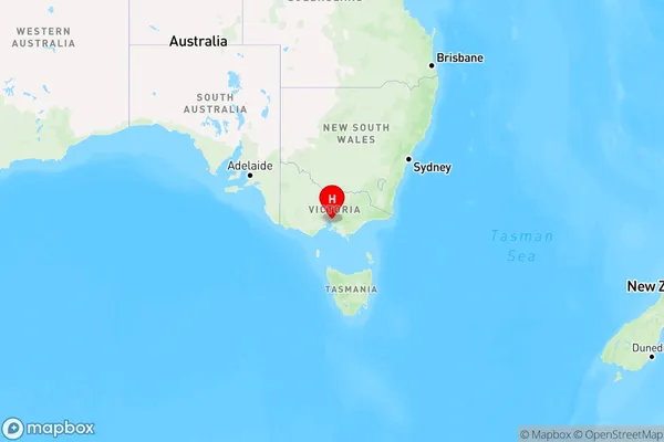
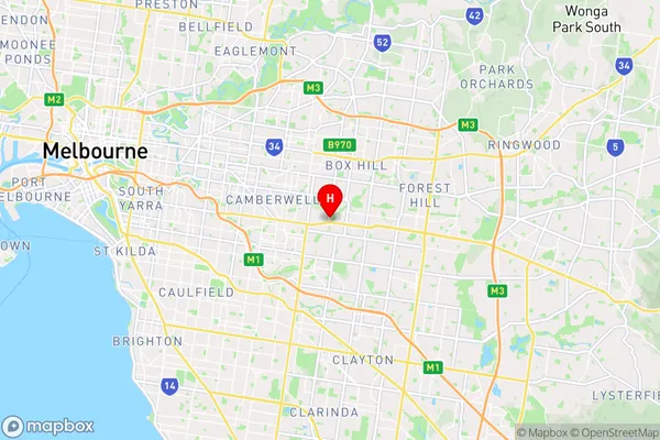
BurwoodBurwood Suburb Area Map (Polygon)

Burwood Introduction
Burwood is a suburb in Melbourne's inner east, located 10 kilometers from the CBD. It is known for its large shopping malls, including Westfield Burwood and Eastland. The suburb has a diverse population and is home to many international students and immigrants. Burwood has a variety of recreational facilities, including parks, sports clubs, and libraries. It is also home to several hospitals and medical centers, including the Burwood Private Hospital and the Monash Medical Center.State Name
City or Big Region
District or Regional Area
Suburb Name
Burwood Region Map

Country
Main Region in AU
R1Coordinates
-37.8483275,145.1099967 (latitude/longitude)Burwood Area Map (Street)

Longitude
145.101Latitude
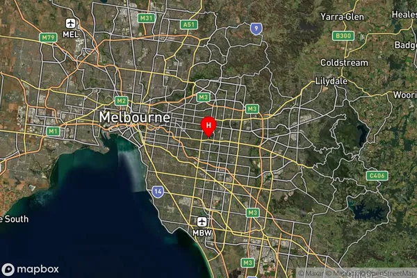
-37.851305Burwood Suburb Map (Satellite)

Distances
The distance from Burwood, Melbourne - Inner East, VIC to AU Greater Capital CitiesSA1 Code 2011
20703116506SA1 Code 2016
20703116506SA2 Code
207031165SA3 Code
20703SA4 Code
207RA 2011
1RA 2016
1MMM 2015
1MMM 2019
1Charge Zone
V1LGA Region
BoroondaraLGA Code
21110Electorate
Chisholm