Port Melbourne Area, Port Melbourne Postcode(3207) & Map in Port Melbourne, Melbourne - Inner, VIC
Port Melbourne Area, Port Melbourne Postcode(3207) & Map in Port Melbourne, Melbourne - Inner, VIC, AU, Postcode: 3207
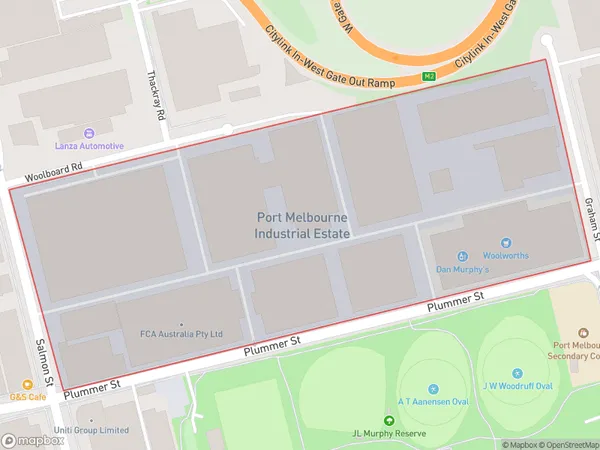
Port Melbourne, Port Melbourne Industrial, Port Phillip, Melbourne - Inner, Victoria, Australia, 3207
Port Melbourne Postcode
Area Name
Port MelbournePort Melbourne Suburb Area Map (Polygon)

Port Melbourne Introduction
Port Melbourne is a suburb in Melbourne, Australia, 8 km south-west of the central business district. It is located on the southern side of Port Phillip and is bounded by the Yarra River to the north, the West Gate Freeway to the west, and Station Street to the south. The suburb has a diverse population and is known for its vibrant arts and culture scene. It is also home to a number of significant historical landmarks, including the Port Melbourne Lighthouse and the West Gate Bridge.State Name
City or Big Region
District or Regional Area
Suburb Name
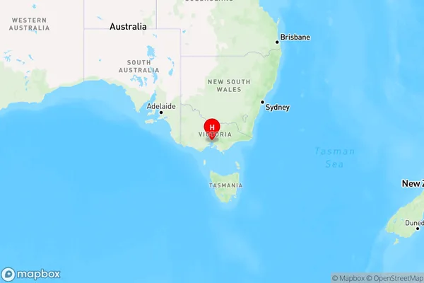
Port Melbourne Region Map

Country
Main Region in AU
R1Coordinates
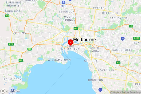
-37.8315264,144.9226452 (latitude/longitude)Port Melbourne Area Map (Street)

Longitude
144.918044Latitude
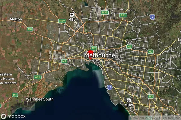
-37.832179Port Melbourne Suburb Map (Satellite)

Distances
The distance from Port Melbourne, Melbourne - Inner, VIC to AU Greater Capital CitiesSA1 Code 2011
20605113101SA1 Code 2016
20605113101SA2 Code
206051131SA3 Code
20605SA4 Code
206RA 2011
1RA 2016
1MMM 2015
1MMM 2019
1Charge Zone
V1LGA Region
MelbourneLGA Code
24600Electorate
Macnamara