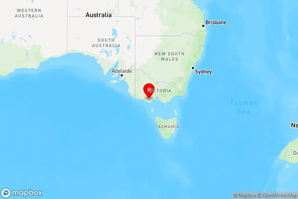
Pirron Yallock Area, Pirron Yallock Postcode(3249) & Map in Pirron Yallock, Warrnambool and South West, VIC
Pirron Yallock Area, Pirron Yallock Postcode(3249) & Map in Pirron Yallock, Warrnambool and South West, VIC, AU, Postcode: 3249
Pirron Yallock, Colac Region, Colac - Corangamite, Warrnambool and South West, Victoria, Australia, 3249
Pirron Yallock Postcode
Area Name
Pirron YallockPirron Yallock Suburb Area Map (Polygon)

Pirron Yallock Introduction
Pirron Yallock is a small township located in the Warrnambool and South West region of Victoria, Australia. It is situated in the Golden Plains Shire and is approximately 216 kilometers west of Melbourne. The town is named after the local Pirron Yallock Creek, which flows through the area. Pirron Yallock is a popular tourist destination, with many visitors coming to explore the scenic surroundings and the many attractions the region has to offer, including the Great Ocean Road.State Name
City or Big Region
District or Regional Area
Suburb Name
Pirron Yallock Region Map

Country
Main Region in AU
R3Coordinates
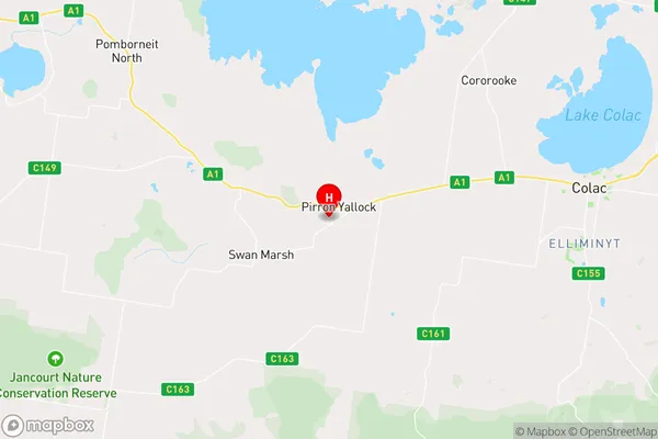
-38.3554705,143.4230064 (latitude/longitude)Pirron Yallock Area Map (Street)

Longitude
143.557159Latitude
-38.388291Pirron Yallock Elevation
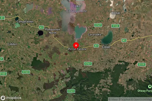
about 177.27 meters height above sea level (Altitude)Pirron Yallock Suburb Map (Satellite)

Distances
The distance from Pirron Yallock, Warrnambool and South West, VIC to AU Greater Capital CitiesSA1 Code 2011
21702142606SA1 Code 2016
21703147308SA2 Code
217031473SA3 Code
21703SA4 Code
217RA 2011
2RA 2016
2MMM 2015
5MMM 2019
5Charge Zone
V2LGA Region
Colac OtwayLGA Code
21750Electorate
Wannon