Barwon Downs Area, Barwon Downs Postcode(3243) & Map in Barwon Downs, Warrnambool and South West, VIC
Barwon Downs Area, Barwon Downs Postcode(3243) & Map in Barwon Downs, Warrnambool and South West, VIC, AU, Postcode: 3243
Barwon Downs, Colac Region, Colac - Corangamite, Warrnambool and South West, Victoria, Australia, 3243
Barwon Downs Postcode
Area Name
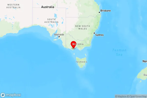
Barwon DownsBarwon Downs Suburb Area Map (Polygon)

Barwon Downs Introduction
Barwon Downs is a locality in the City of Warrnambool, Victoria, Australia. It is located in the Western District of Victoria and is approximately 265 kilometers south-west of Melbourne, the state capital. Barwon Downs is known for its agricultural industry, with a number of farms and wineries located in the area. The town also has a primary school, a post office, a supermarket, and a number of cafes and restaurants.State Name
City or Big Region
District or Regional Area
Suburb Name
Barwon Downs Region Map

Country
Main Region in AU
R3Coordinates
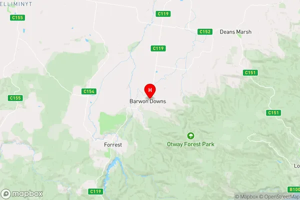
-38.4705238,143.767428 (latitude/longitude)Barwon Downs Area Map (Street)

Longitude
143.82588Latitude
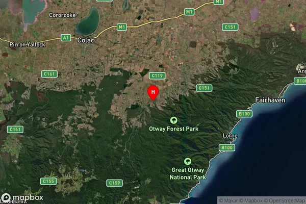
-38.364034Barwon Downs Suburb Map (Satellite)

Distances
The distance from Barwon Downs, Warrnambool and South West, VIC to AU Greater Capital CitiesSA1 Code 2011
21702142605SA1 Code 2016
21703147301SA2 Code
217031473SA3 Code
21703SA4 Code
217RA 2011
2RA 2016
2MMM 2015
5MMM 2019
5Charge Zone
V2LGA Region
Surf CoastLGA Code
26490Electorate
Corangamite