Mannibadar Area, Mannibadar Postcode(3360) & Map in Mannibadar, Ballarat, VIC
Mannibadar Area, Mannibadar Postcode(3360) & Map in Mannibadar, Ballarat, VIC, AU, Postcode: 3360
Mannibadar, Golden Plains - North, Maryborough - Pyrenees, Ballarat, Victoria, Australia, 3360
Mannibadar Postcode
Area Name
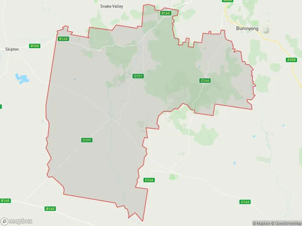
MannibadarMannibadar Suburb Area Map (Polygon)

Mannibadar Introduction
Mannibadar is a locality in the City of Ballarat, Victoria, Australia. It is located in the western suburbs of Ballarat, approximately 10 kilometers from the city center. Mannibadar was named after the Mannibadar people, who are the traditional owners of the land. The locality has a variety of housing styles, including single-family homes, apartments, and townhouses. It is home to a number of parks and recreational facilities, including the Mannibadar Reserve, which features walking trails and a playground. Mannibadar is well-connected to the rest of Ballarat via public transportation, with the Ballarat Train Station located nearby.State Name
City or Big Region
District or Regional Area
Suburb Name
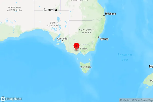
Mannibadar Region Map

Country
Main Region in AU
R3Coordinates
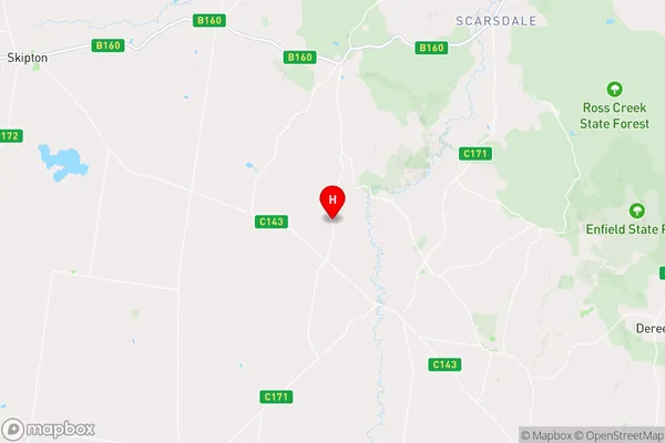
-37.767102,143.5551093 (latitude/longitude)Mannibadar Area Map (Street)

Longitude
143.51253Latitude
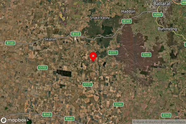
-37.779677Mannibadar Suburb Map (Satellite)

Distances
The distance from Mannibadar, Ballarat, VIC to AU Greater Capital CitiesSA1 Code 2011
20103101510SA1 Code 2016
20103101510SA2 Code
201031015SA3 Code
20103SA4 Code
201RA 2011
2RA 2016
2MMM 2015
5MMM 2019
5Charge Zone
V2LGA Region
Golden PlainsLGA Code
22490Electorate
Wannon