Werneth Area, Werneth Postcode(3352) & Map in Werneth, Ballarat, VIC
Werneth Area, Werneth Postcode(3352) & Map in Werneth, Ballarat, VIC, AU, Postcode: 3352
Werneth, Golden Plains - North, Maryborough - Pyrenees, Ballarat, Victoria, Australia, 3352
Werneth Postcode
Area Name
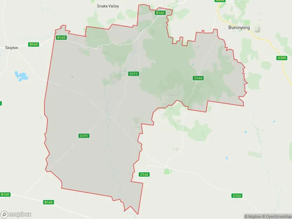
WernethWerneth Suburb Area Map (Polygon)
Werneth Introduction
Werneth is a suburb located in the City of Ballarat, Victoria, Australia. It is situated approximately 6 kilometers north-east of Ballarat's central business district and is named after the Werneth family, who were early settlers in the area. Werneth has a post office, a primary school, a community hall, and a cricket club. The suburb is also home to a number of historic buildings, including the Werneth Mansion, which is a significant example of Victorian-era architecture.State Name
City or Big Region
District or Regional Area
Suburb Name
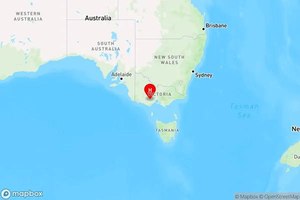
Werneth Region Map
Country
Main Region in AU
R3Coordinates
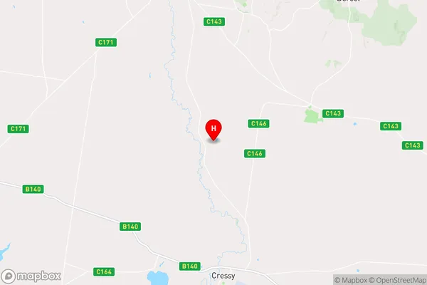
-37.9291695,143.6241243 (latitude/longitude)Werneth Area Map (Street)
Longitude
143.662387Latitude
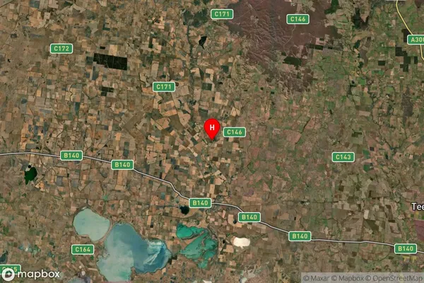
-37.482132Werneth Suburb Map (Satellite)
Distances
The distance from Werneth, Ballarat, VIC to AU Greater Capital CitiesSA1 Code 2011
20103101510SA1 Code 2016
20103101510SA2 Code
201031015SA3 Code
20103SA4 Code
201RA 2011
2RA 2016
2MMM 2015
5MMM 2019
5Charge Zone
V2LGA Region
BallaratLGA Code
20570Electorate
Wannon