Weatherboard Area, Weatherboard Postcode(3352) & Map in Weatherboard, Ballarat, VIC
Weatherboard Area, Weatherboard Postcode(3352) & Map in Weatherboard, Ballarat, VIC, AU, Postcode: 3352
Weatherboard, Creswick - Clunes, Creswick - Daylesford - Ballan, Ballarat, Victoria, Australia, 3352
Weatherboard Postcode
Area Name
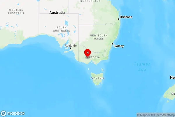
WeatherboardWeatherboard Suburb Area Map (Polygon)

Weatherboard Introduction
Weatherboard is a historic residential suburb in Ballarat, Victoria, Australia. It is located 4 km north-east of the central business district and was named after the weatherboard houses that were built there in the 1850s. The suburb has a rich history and is home to many significant buildings, including the Ballarat Mechanics' Institute and the Old Government House. It is also known for its beautiful gardens and parks, including the Lake Wendouree and Queen Elizabeth Park.State Name
City or Big Region
District or Regional Area
Suburb Name
Weatherboard Region Map

Country
Main Region in AU
R3Coordinates
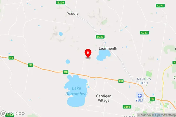
-37.442239,143.6718599 (latitude/longitude)Weatherboard Area Map (Street)

Longitude
143.662387Latitude
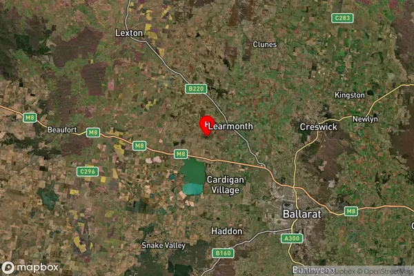
-37.482132Weatherboard Suburb Map (Satellite)

Distances
The distance from Weatherboard, Ballarat, VIC to AU Greater Capital CitiesSA1 Code 2011
20102101011SA1 Code 2016
20102101011SA2 Code
201021010SA3 Code
20102SA4 Code
201RA 2011
2RA 2016
2MMM 2015
2MMM 2019
2Charge Zone
V2LGA Region
BallaratLGA Code
20570Electorate
Wannon