Napoleons Area, Napoleons Postcode(3352) & Map in Napoleons, Ballarat, VIC
Napoleons Area, Napoleons Postcode(3352) & Map in Napoleons, Ballarat, VIC, AU, Postcode: 3352
Napoleons, Golden Plains - North, Maryborough - Pyrenees, Ballarat, Victoria, Australia, 3352
Napoleons Postcode
Area Name
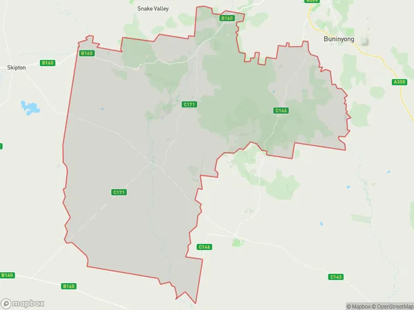
NapoleonsNapoleons Suburb Area Map (Polygon)

Napoleons Introduction
Napoleons is a historic gold mining town located in the Central Highlands of Victoria, Australia. It was founded in 1851 and is renowned for its rich gold deposits. The town is a popular tourist destination and is home to many historic buildings and landmarks, including the Great Eastern Mine, the Chinese Temple, and the Napoleons Museum.State Name
City or Big Region
District or Regional Area
Suburb Name
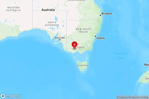
Napoleons Region Map

Country
Main Region in AU
R3Coordinates
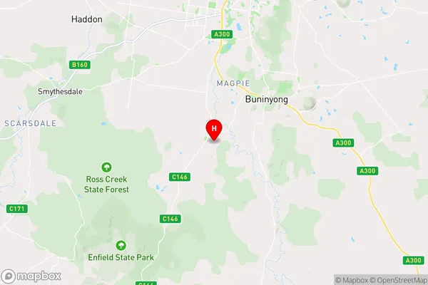
-37.683333,143.833333 (latitude/longitude)Napoleons Area Map (Street)

Longitude
143.662387Latitude
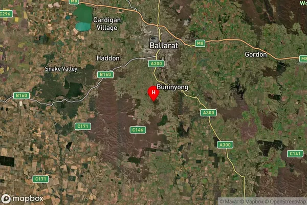
-37.482132Napoleons Suburb Map (Satellite)

Distances
The distance from Napoleons, Ballarat, VIC to AU Greater Capital CitiesSA1 Code 2011
20103101501SA1 Code 2016
20103101501SA2 Code
201031015SA3 Code
20103SA4 Code
201RA 2011
2RA 2016
2MMM 2015
2MMM 2019
2Charge Zone
V2LGA Region
BallaratLGA Code
20570Electorate
Wannon